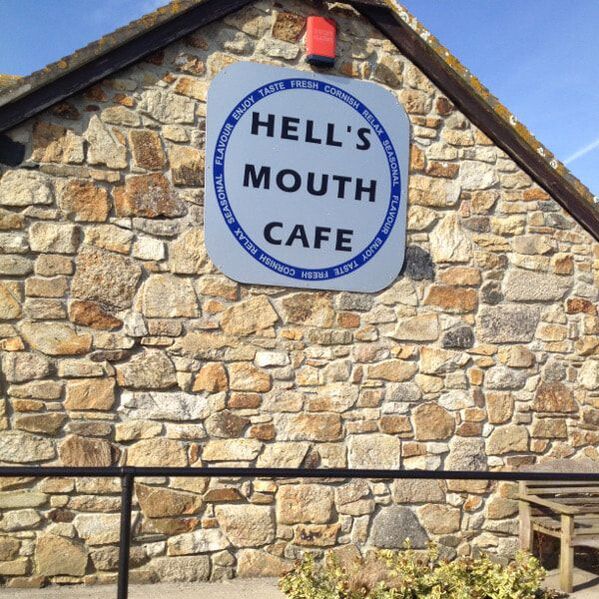
We take a bus to a small village (it's probably not even a village) called "Hell's Mouth." The bus stops at a little cafe where we eat a slice of cake. This was a second breakfast; we'd eaten the first much earlier.
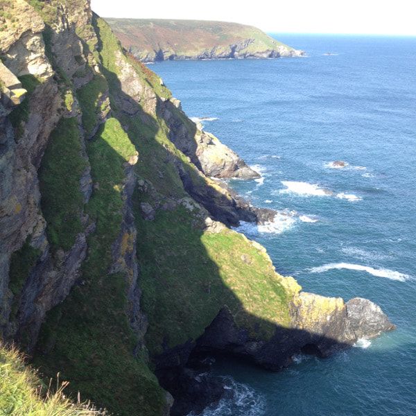
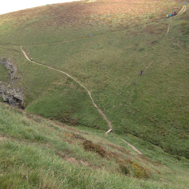
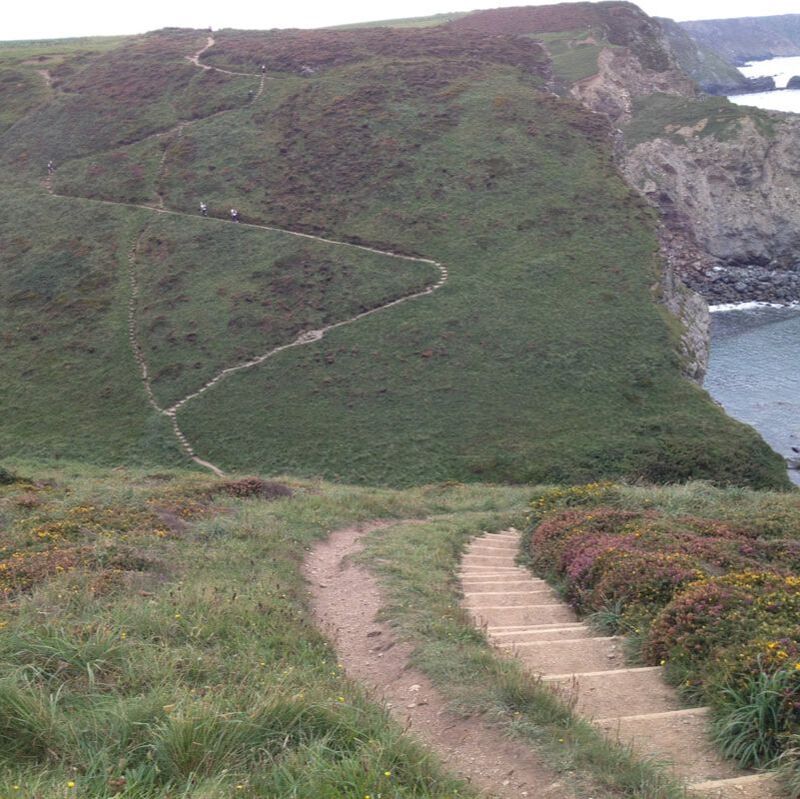
We are just walking along, enjoying the view and life itself, when right around this corner the trail seems to dip lower than usual.
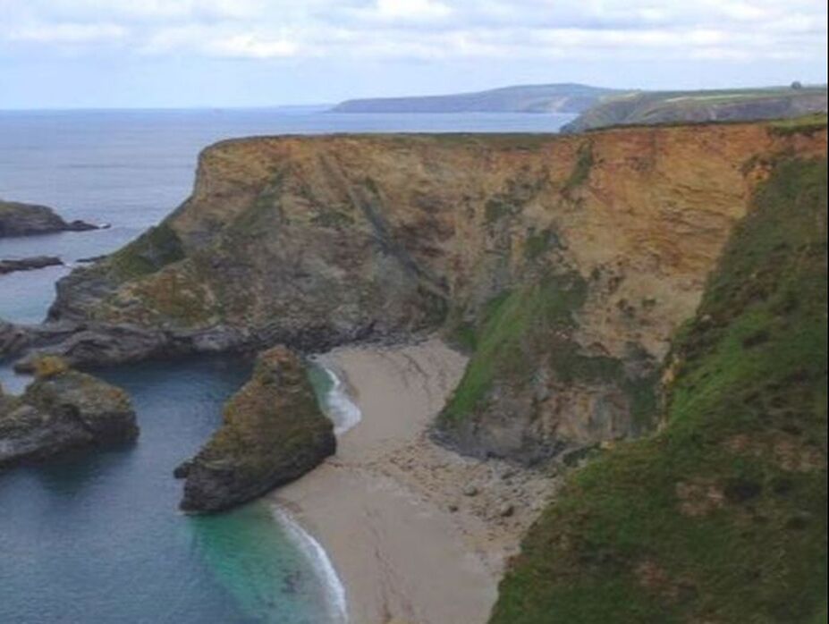
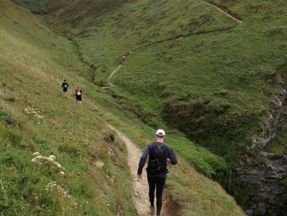
We trail goes way way down, zigzagging because it's so steep, then up the same way, Then it does it again. Two mammoth hills in a row.
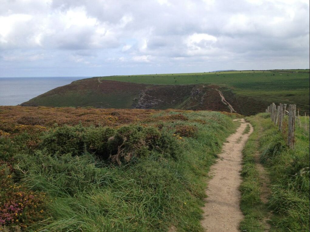
It seems a bit churlish to complain about how hard this is when there are folks running the whole path!
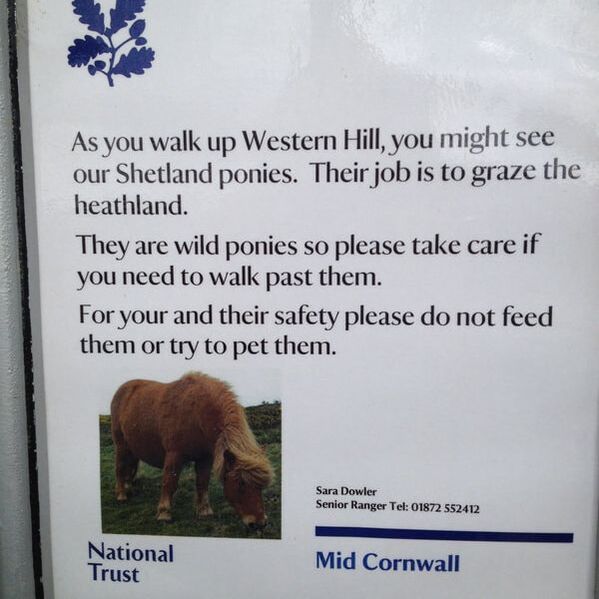
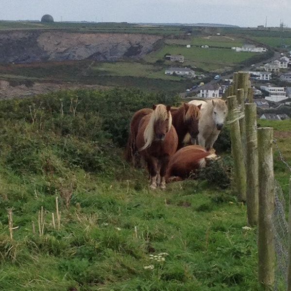
I don't pay much heed to this sign. Until I reach these guys, who look a bit threatening. And what's with the poor guy (gal?) on the ground? Is she sleeping? Dead? Giving birth? We give them a wide berth and keep going.
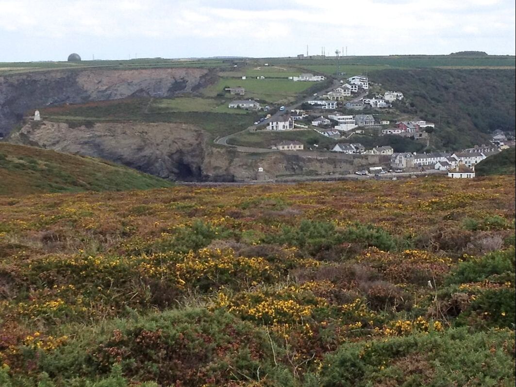
Finally, we see Portreath. Just in time too because Bob and I are having one of those silly stupid arguments that befall all married couples sometimes and at this point we're not even talking to each other. That's how mature we are.