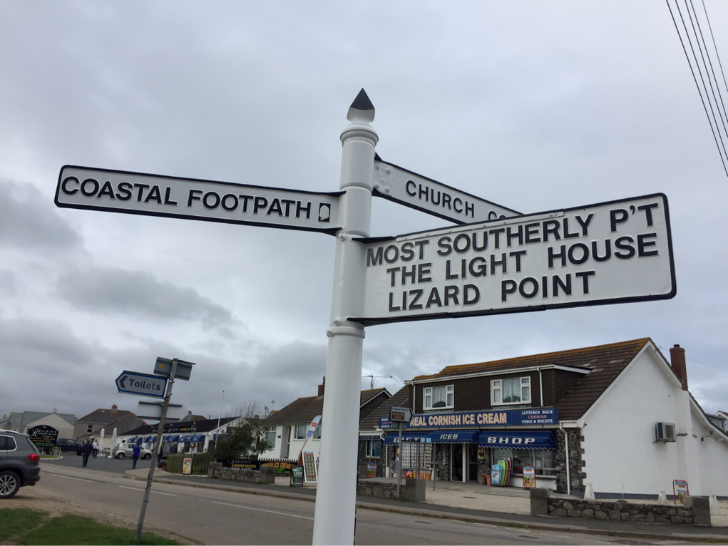
Lizard Point is Britain's most southerly point, infamous for its shipwrecks and overlooking one of the busiest shipping lanes in the world. Its rugged coastline is believed to contain rock which dates to over 500 million years old! Before they built the lighthouse in 1752, the coast was titled the ‘Graveyard of Ships’. Now there is a Lizard Lifeboat Station so presumably it's a graveyard no more.
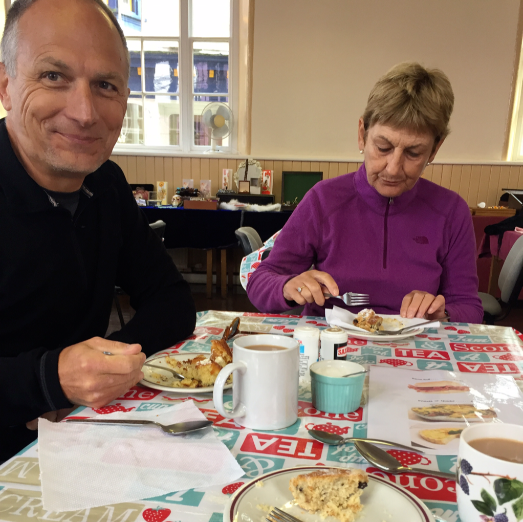
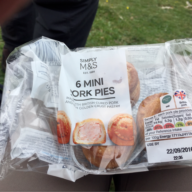
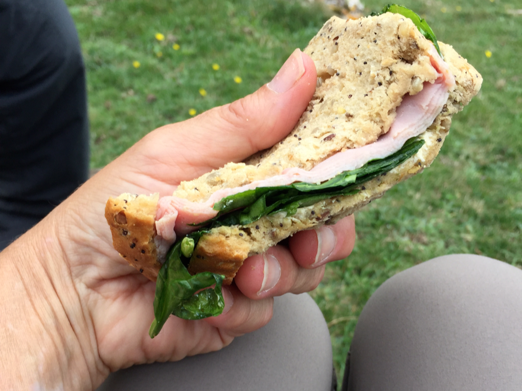
We stop at M&S before catching bus to Helston. We packed a good healthy lunch that needs just a touch of sweet. Or two touches.
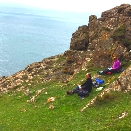
The bus goes up and down the tiniest of lanes.
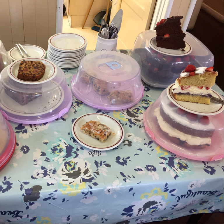
In Helston we have an hour before the bus to Mullion Cove, so we stop at the community building for tea and homemade treats. It's the same place we stopped last year!
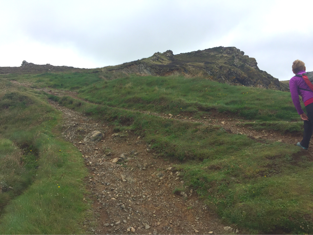
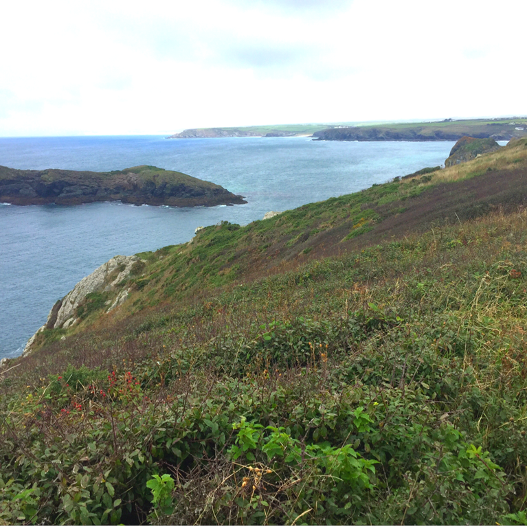
We start the path at Mullion Cove, where we left off last year, but now we're going south toward Lizard Point. The beginning is straight uphill.
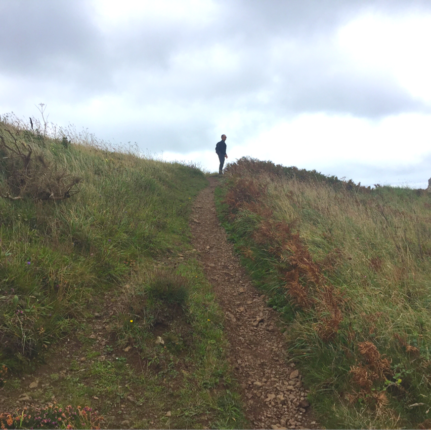
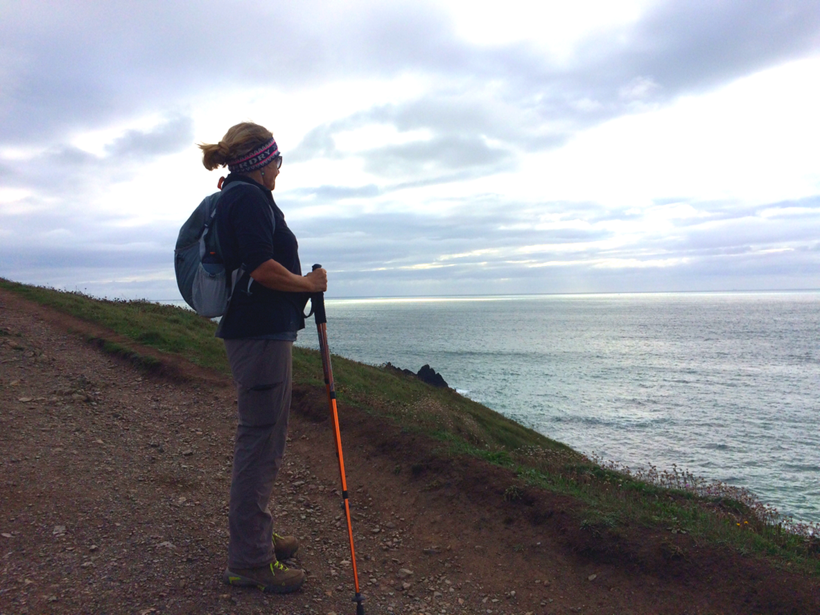
Looking back. As we went over every one of these headlands, starting way back at the top left of this photo, we thought for sure that just around the next one would be Kynance Cove. But the path went on and on.
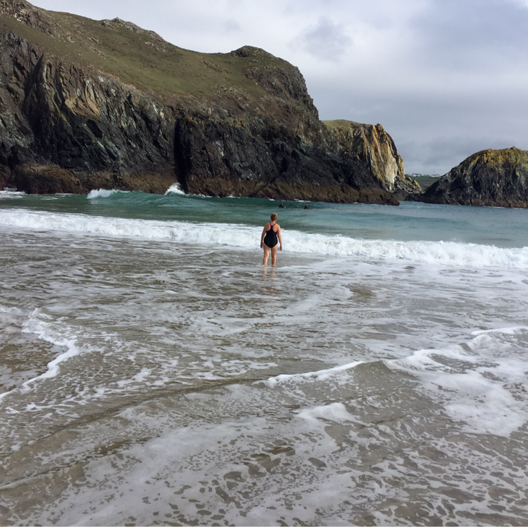
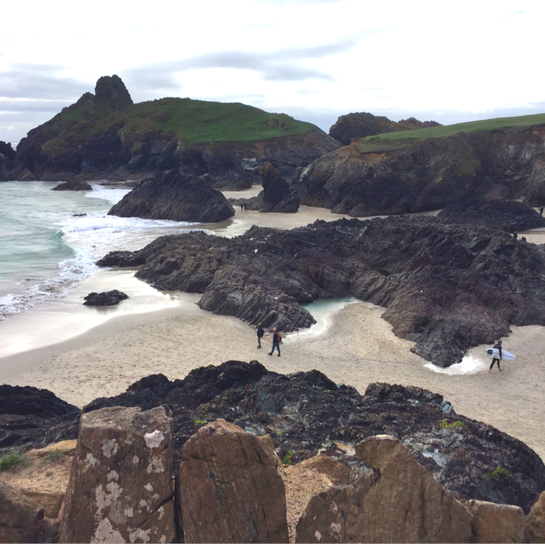
We reach Kynance Cove!
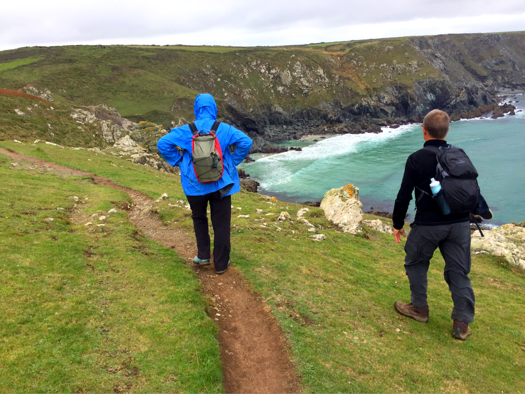
After a quick tea, we head back up the cliffs on the other side of Kynance Cove. It's taken us 30 minutes per mile so far—much longer than we expected—and we're a bit worried that if it takes that long to get to Lizard Point, we'll miss our bus connections.
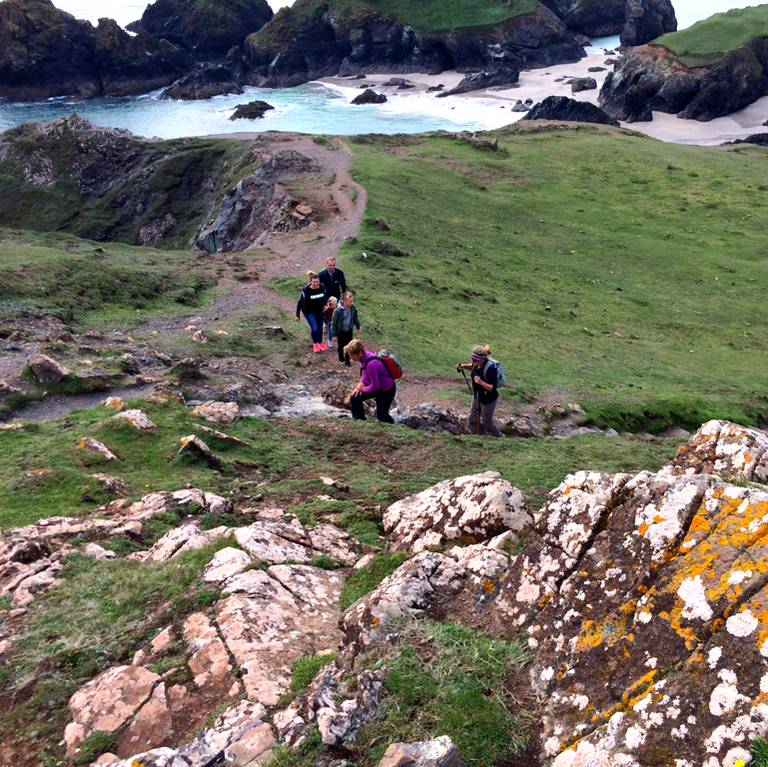
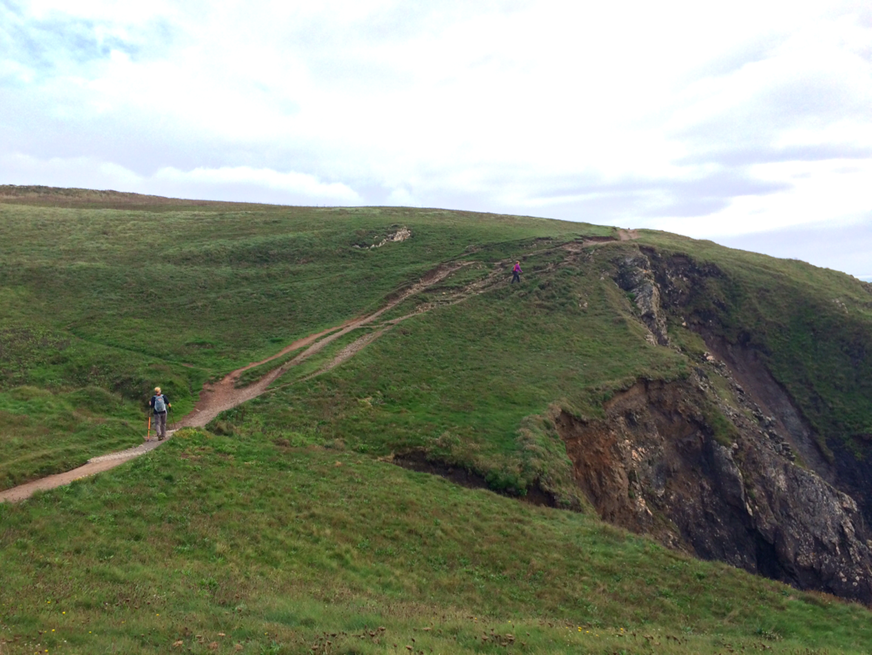
If you look closely you can see the wee people on the path. This section has too much damage to the cliff, so they shifted the path to take you across the top.
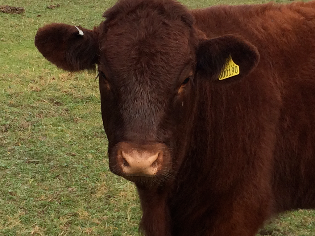
These guys are behind an awfully flimsy-looking wire. I try not to make eye contact but Bob gets up in their face with his camera.
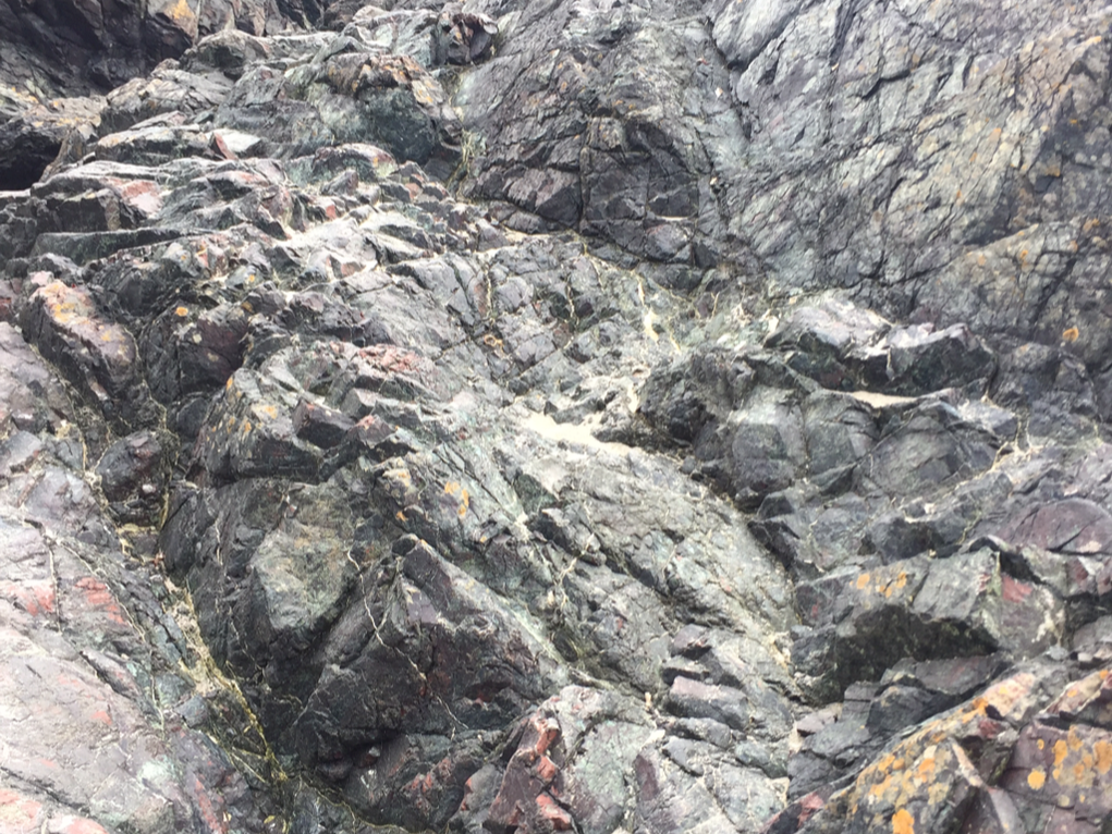
The offshore islets at Lizard Point are 500 million years old, left over from the massive collision between the super-continents of Gondwanaland and Euramerica. (Who names super-continents?) The area contains a huge outcrop of the colorful serpentine rock, the streaks of green looking like a lizard's skin, which is where the name comes from.
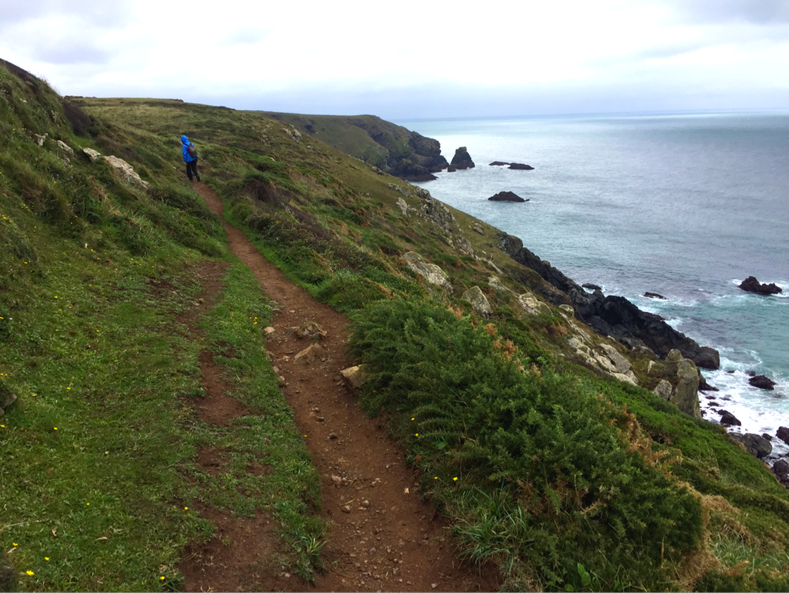
The last two miles are mostly flat and fairly easy, and we're moving at a pretty fast clip because we need to catch the last bus.
Lizard Point, the most southerly part of England.
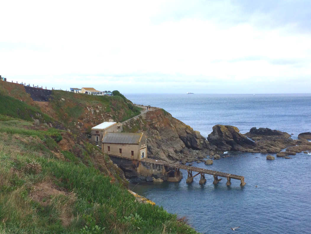
Wish I knew what this was. Did it bring something up from the sea, or send something down? But for having to rush to make the bus, I could find out.
Walking the path up to Lizard Village.
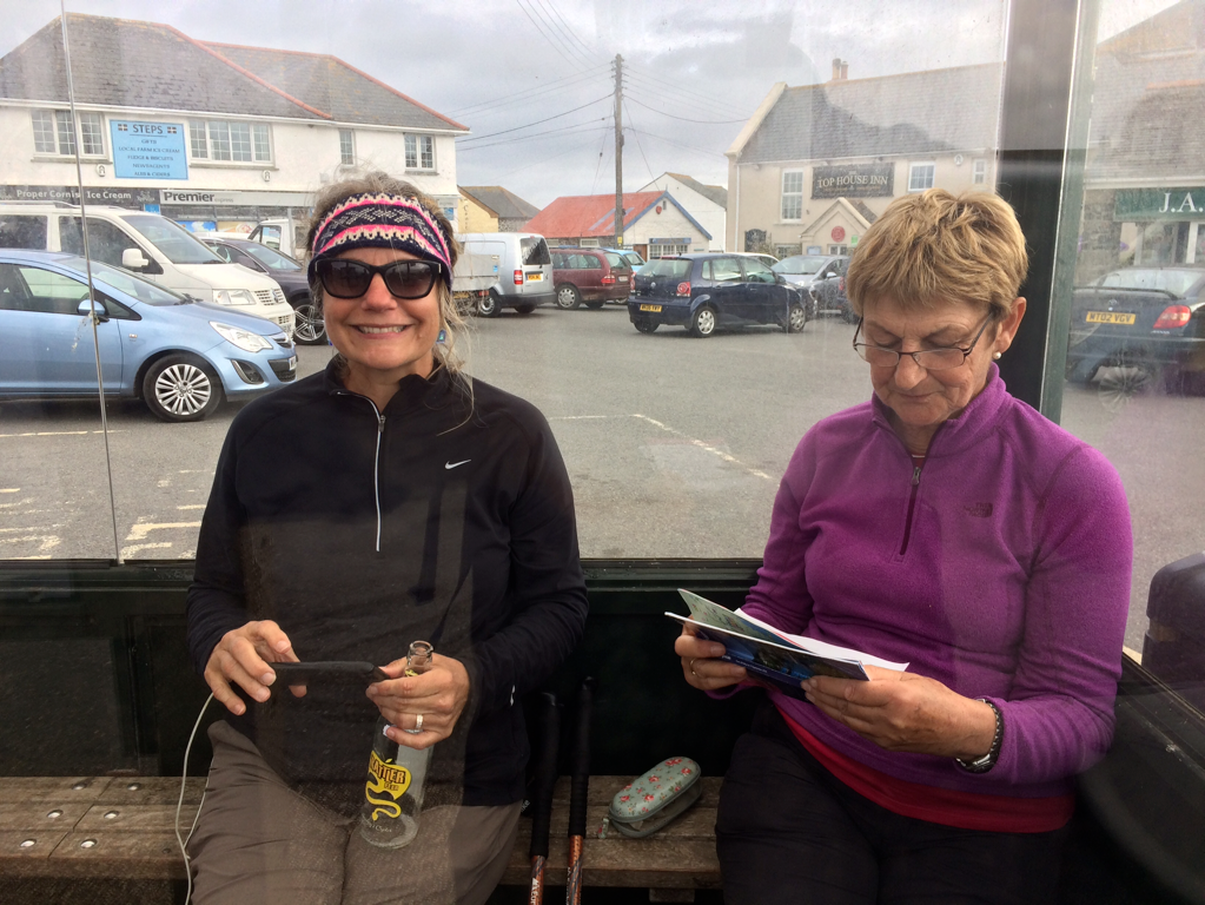
Turns out we have plenty of time for the next bus, because we walked the last two miles so quickly. But still, Susanne ponders the timetable.
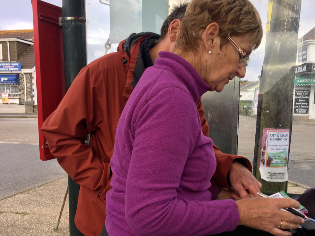
We saw this man on the bus coming in. He too is a timetable double-checker. Together he and Susanne double and triple check both their routes, muttering about how irksome it all is but secretly enjoying the whole timetable complicatedness. I like things like timetables and maps, so I totally relate.