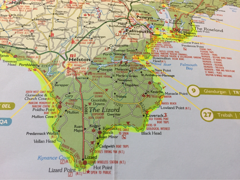
Our goal on this trip was to finish this whole corner. But the 13-mile trek from Helston to Coverack has three major obstacles: the ferry from Helston Passage only runs one hour either side of high tide (or it's an extra 10-mile walk); the inlet of Gillian Creek can only be forded one hour either side of low tide (or it's an extra 45-minute walk), and to boot, there are no buses. It's a quandary.
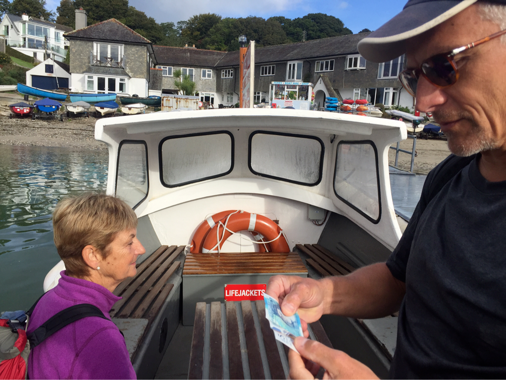
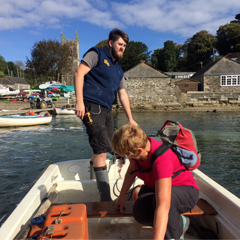
After taking a bus from Falmouth to Helford Passage, we take a ferry across to Helford.
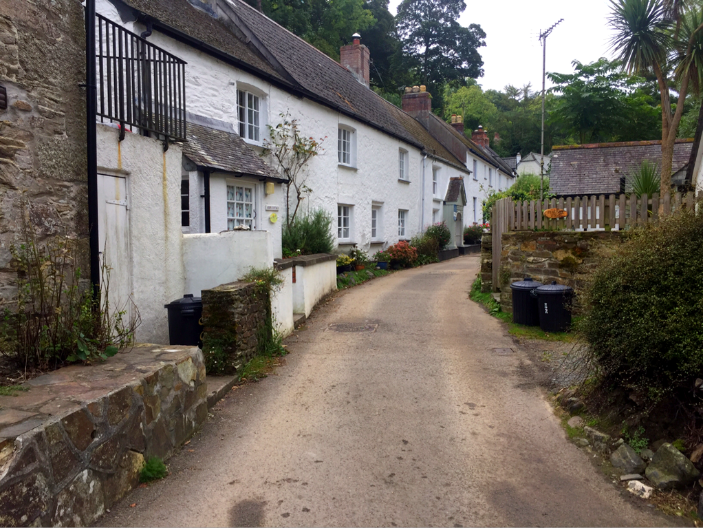
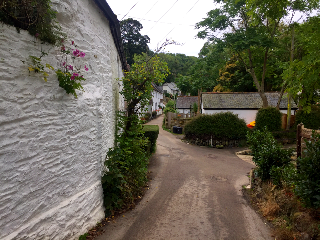
"Helford" comes from the Cornish "Heyl", meaning estuary. Helford Village used to be an important port; trading ships brought French rum, tobacco and lace from the continent and the duty tax was collected at the old custom house.
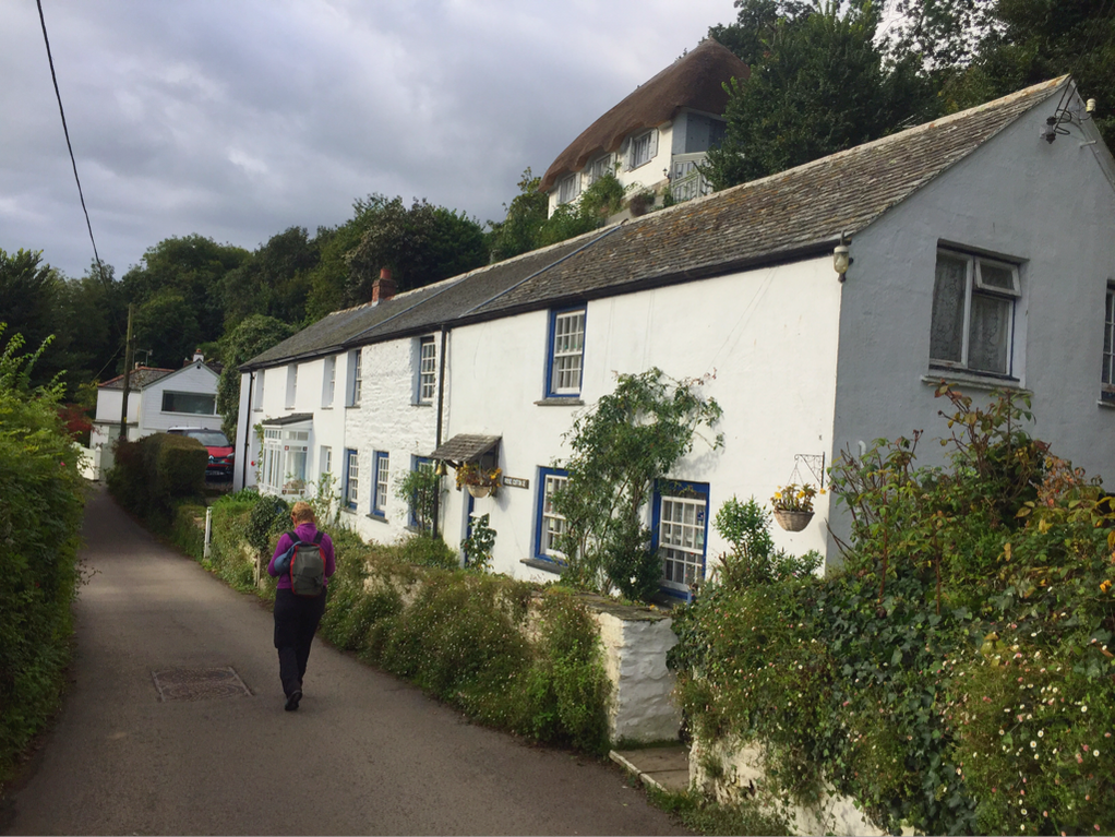
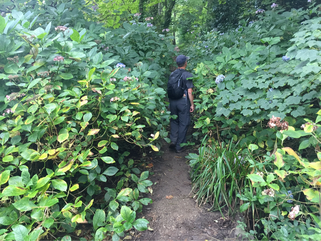
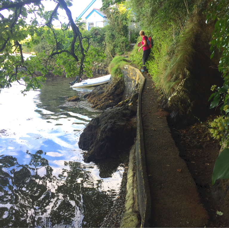
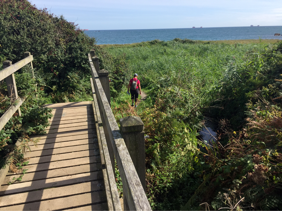
Once again, a new terrain for us on the coastal path.
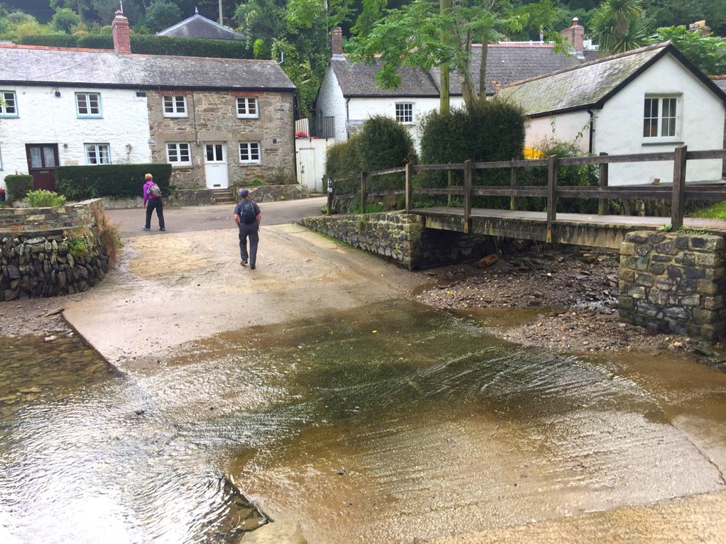
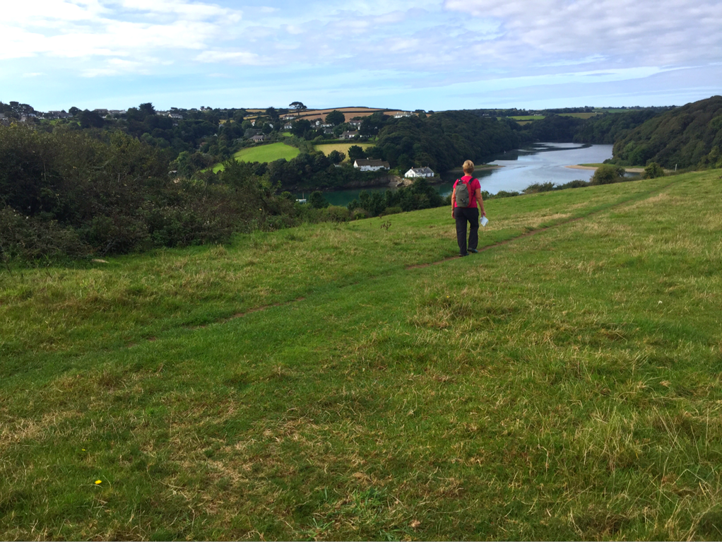
Below is Gillian Creek, which we need to cross to continue on the path.
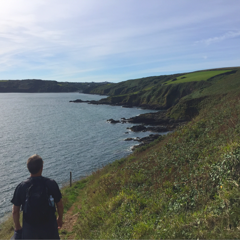
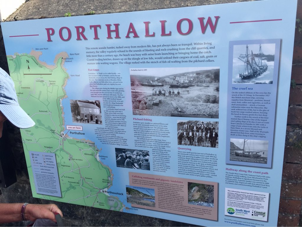
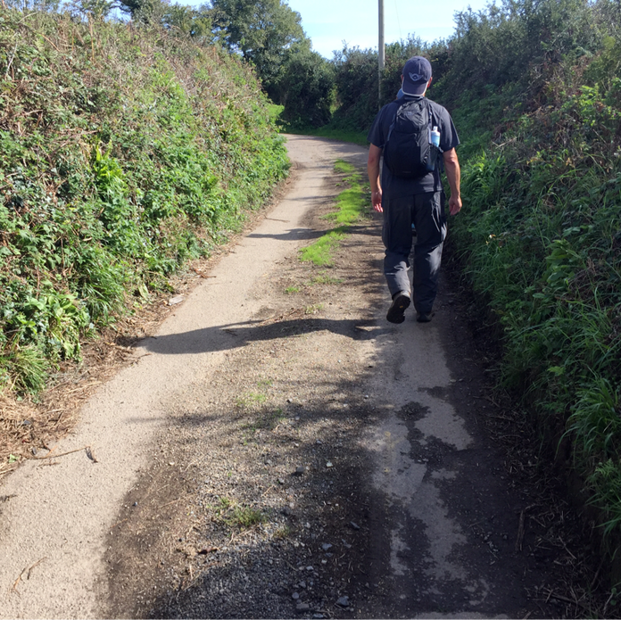
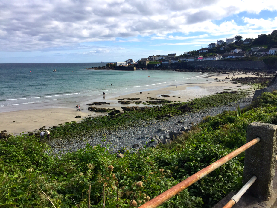
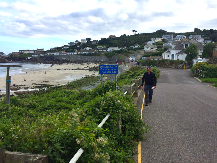
The halfway point. Porthallow is somewhere up ahead. Photo on left: This. Hill. Was. A. Bitch.
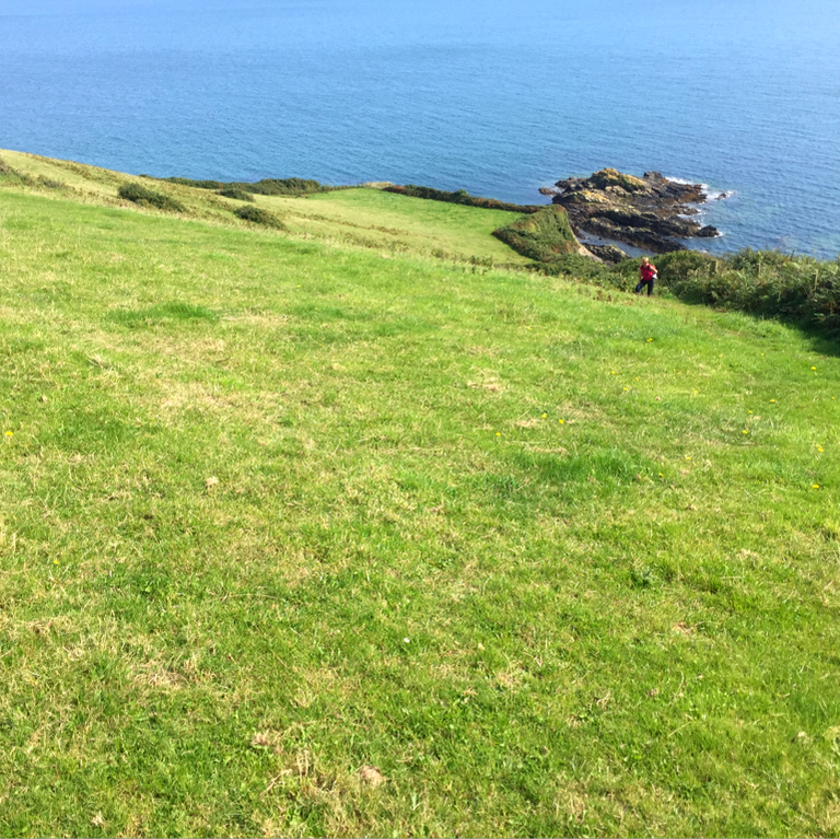
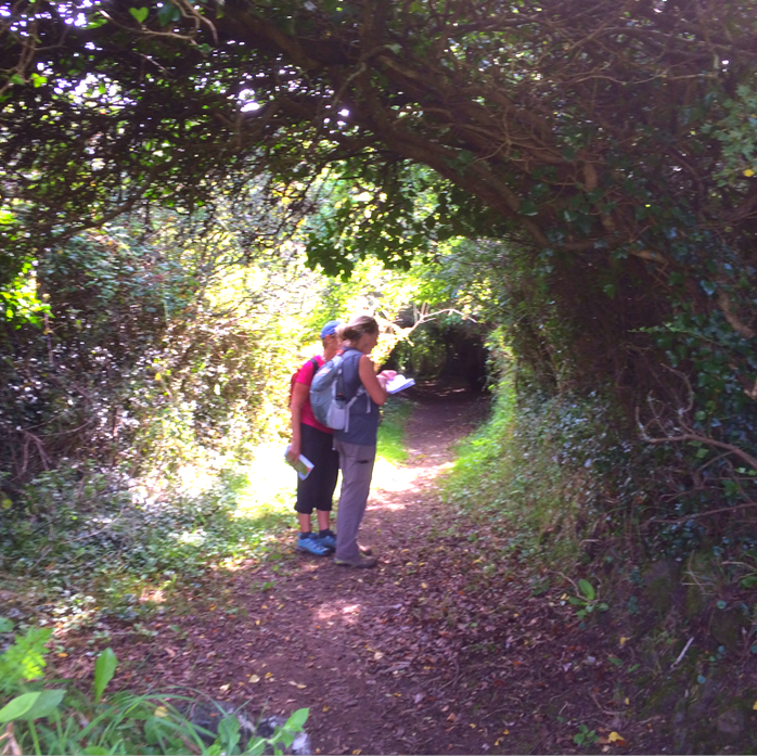
It's here that we somehow miss the path. The trail in this area is very poorly marked, often not marked at all, and although we have two maps and GPS, we get lost.
Cool tunnel path ahead. But not sure where it's going.
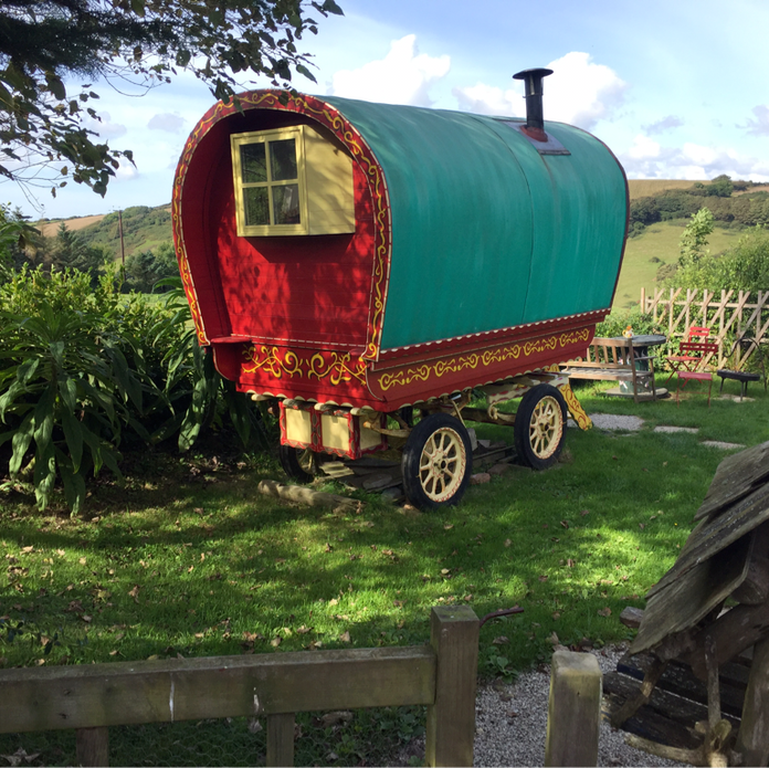
How cool is this little caravan? Surely the Famous Five used it for one of their adventures! But still, we are lost. Have had to backtrack once already.
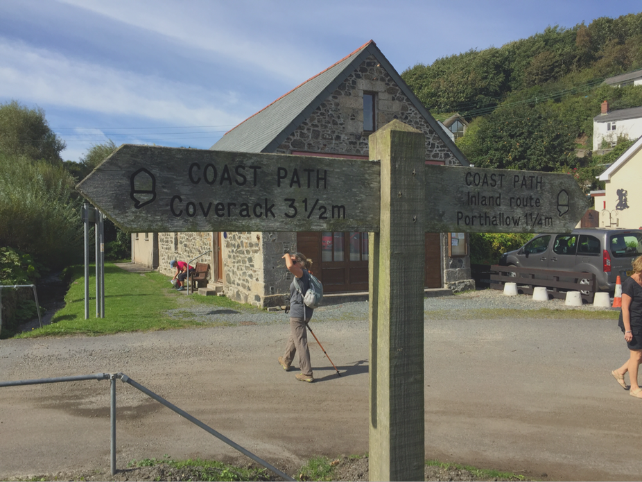
Back on the path; we stop for lunch. 3.5 miles to go
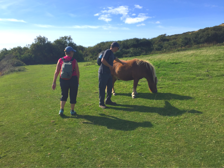
We are out of water and Bob feeds our last apples to the pony.
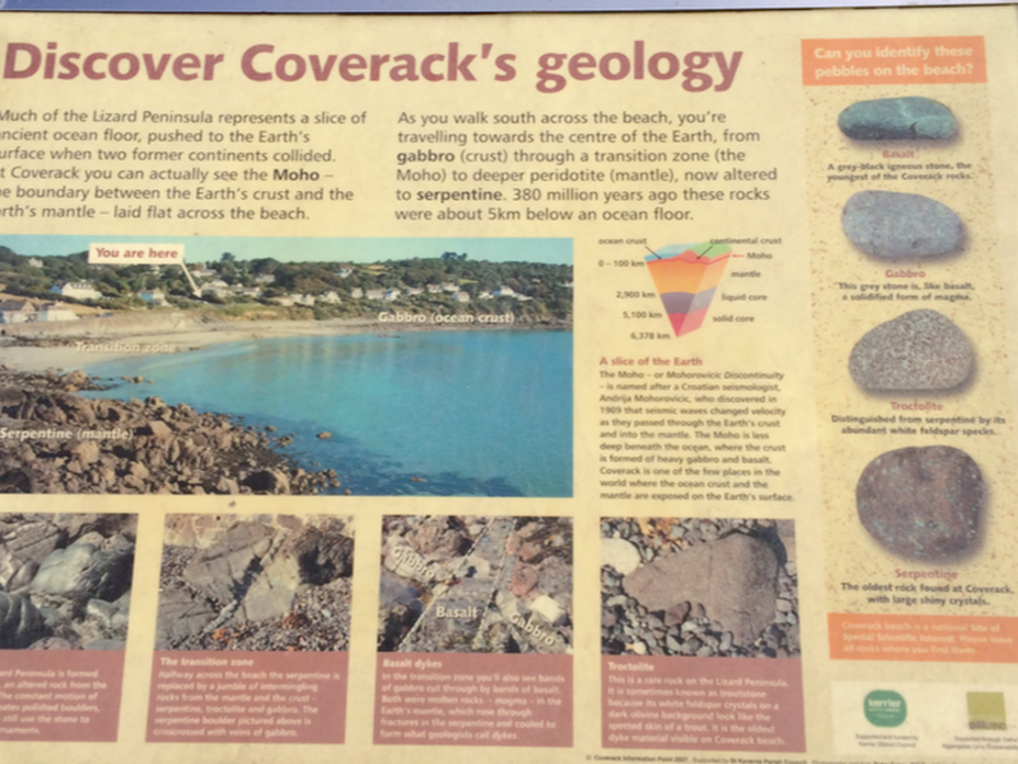
The tide is out and I'm thrilled because now maybe we can see—and walk on—the Moho, which is where two continents collided and the earth's crust and mantle meet. I'm thinking it's an actual ridge or scar or something. But I'm wrong.
Unfortunately, the Moho is this whole stretch; not a ridge we can touch. Bummer.
But Susanne gets her suit on, and Bob and I strip down to our skivvies and we all go for a swim in the gloriously invigorating and freezing sea. It's the first time for Bob and me; we will bring suits from now on!
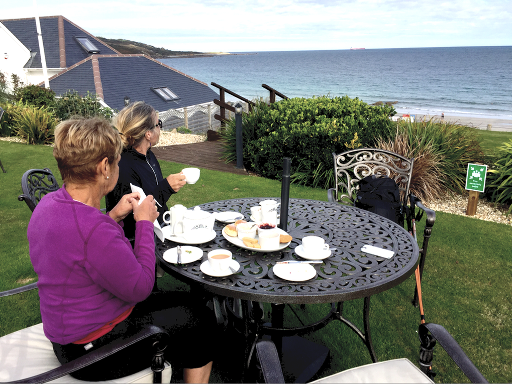
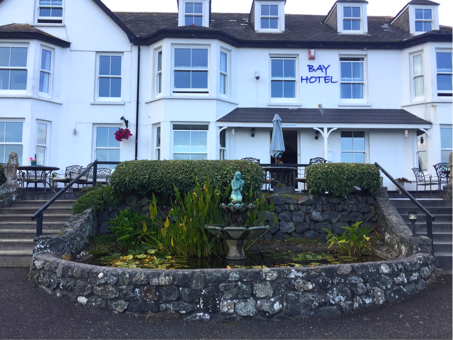
Then we have the best Cream Tea ever, at the Bay Hotel.
Trudging up to the bus stop
We have now completed the loop! Today we did 13+ miles with time to swim in the sea and enjoy the best cream tea we've ever had.