Portwrinkle to Rame Head
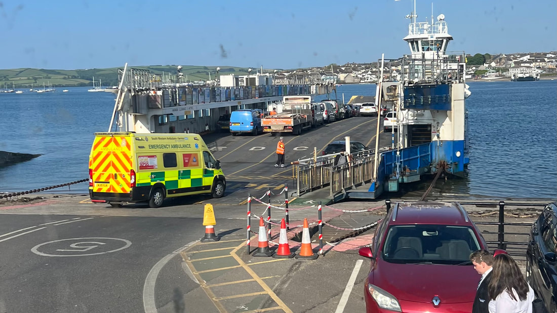
Another ferry from Plymouth across the Tamar, this time on the Torpoint Ferry sitting on the top level of a double-decker. Woohoo!
Once on the other side, we wait 5 minutes for a bus to Portwrinkle; we'll walk back to Rame Head from the other direction, then take the Cawsand Ferry back to Plymouth.
Once on the other side, we wait 5 minutes for a bus to Portwrinkle; we'll walk back to Rame Head from the other direction, then take the Cawsand Ferry back to Plymouth.
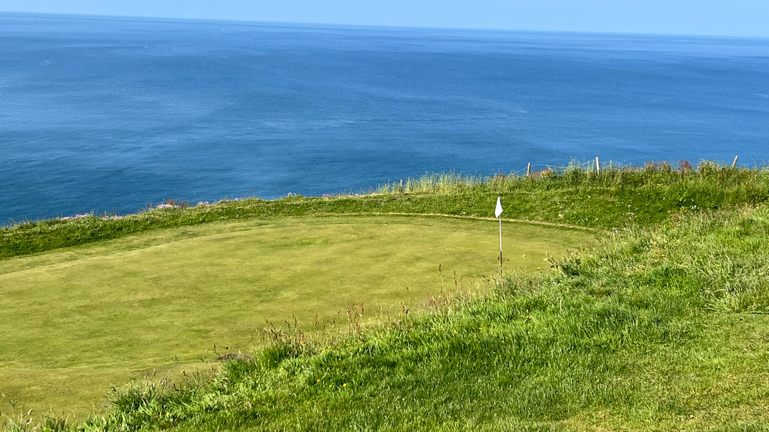
The path goes up from Portwrinkle to a golf course. According to a sign walkers have right of way, which is somewhat comforting.
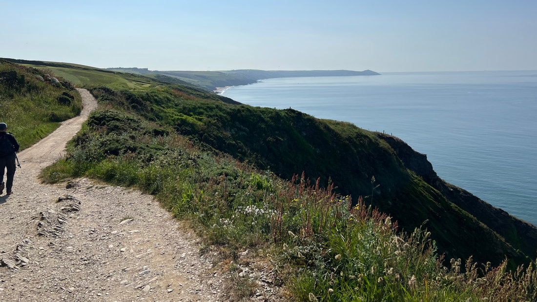
Rame Head is that farthest bump on the right.
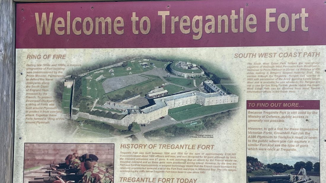
The South West Coast Path cuts right through Tregantle Fort, which was built in 1860 as a military defense to protect Plymouth’s naval base from France. (The Brits and the French have been at war on and off for centuries.)
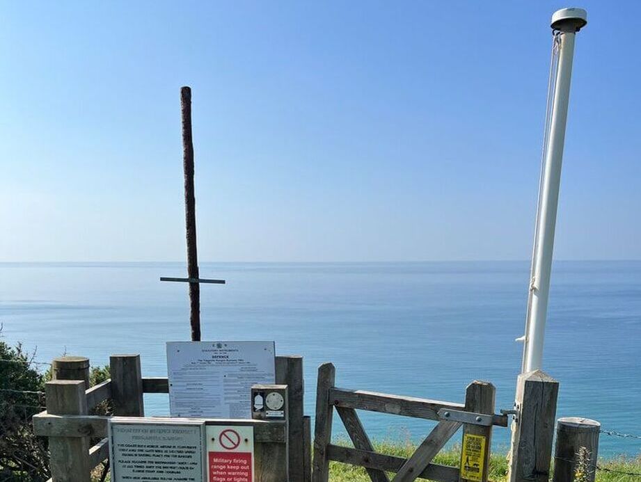
Today the fort is used for military rifle training. When the fort is being used for firing practice, walkers have to detour around. And how would walkers know, besides stopping to listen carefully for gunshots?
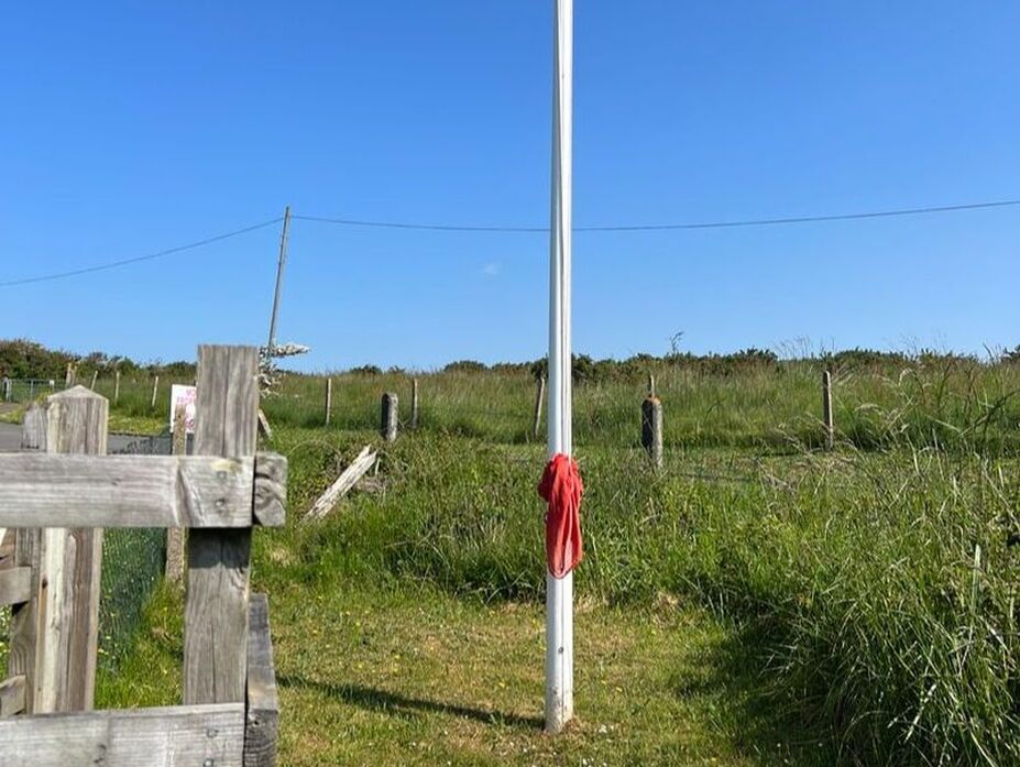
Turns out there is no ear-craning involved; if there's a red flag hoisted where the coast path cuts through, you can't enter the grounds. Today, no flag. We enter.
On the other side, we see a pretty sad-looking sorry-for-itself excuse of a flag. Is it just a red T-shirt? A kitchen towel?
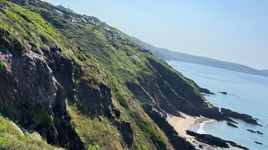
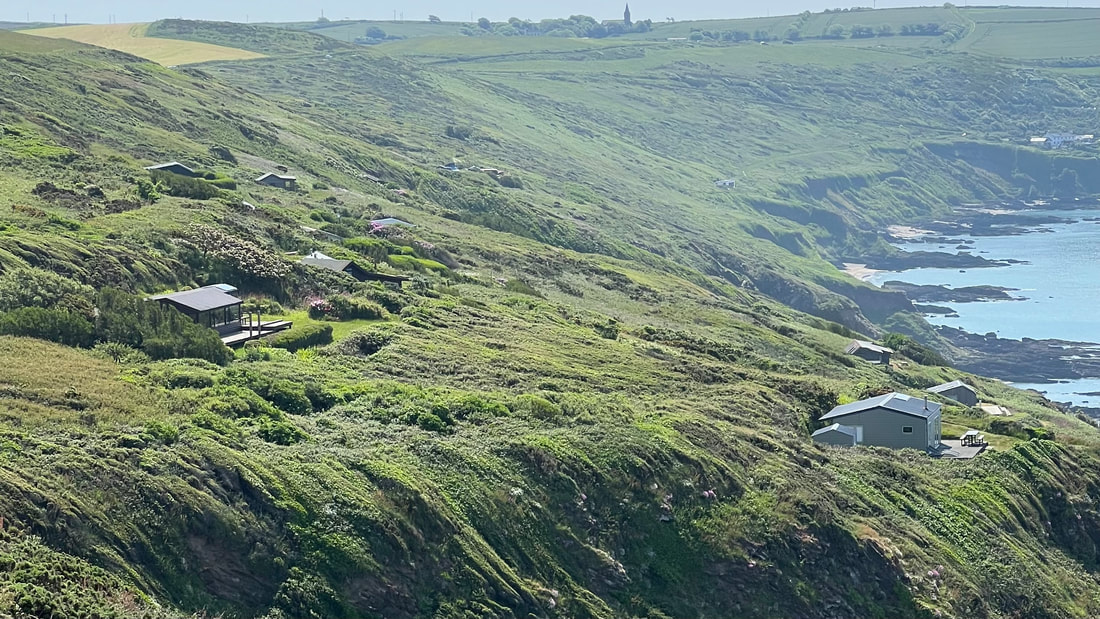
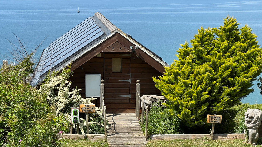
Lots of cheerful little chalets perched on the cliff.
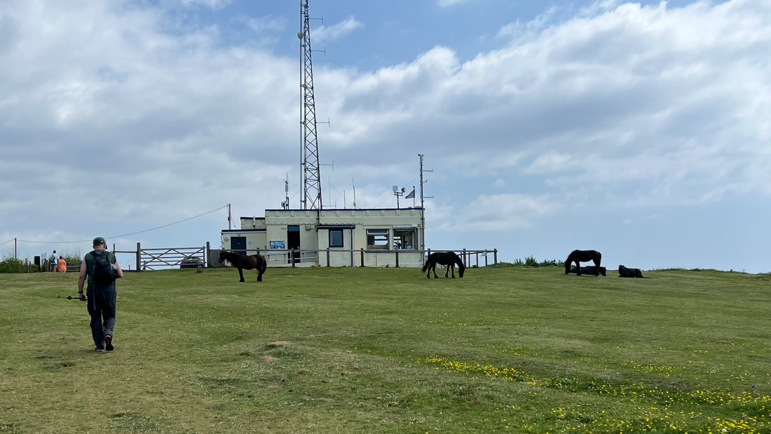
We finish at the coast guard lookout station on Rame Head. Wild horses roam casually across the field.

Walking down the hill to Rame and then on to Cawsand for a swim and the ferry.
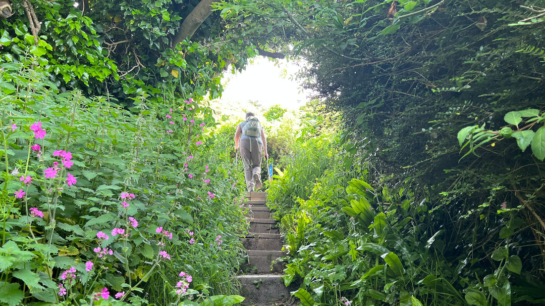
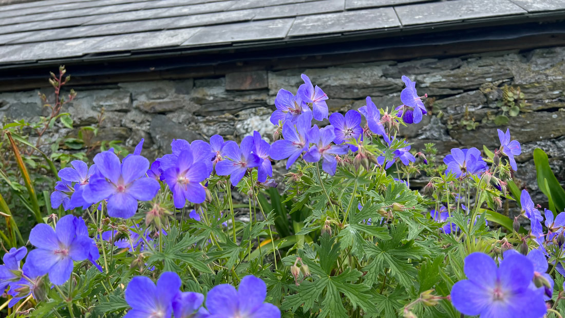
Bob took most of these flower pics.
