LOVE TRAVEL ENGLAND
  • South West COAST Path
  • Our journey
  • Trail Notes
  • The Hikes
    • Somerset & Exmoor Hikes
    • North Devon Hikes
    • North Cornwall Hikes
    • West Cornwall Hikes
    • South Cornwall Hikes
    • South Devon Hikes
Picture
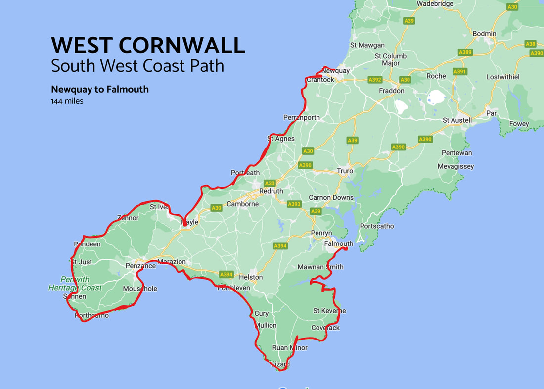
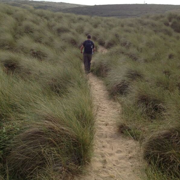
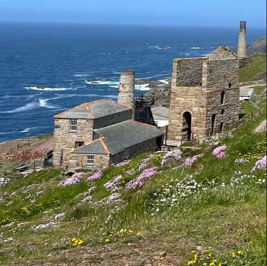
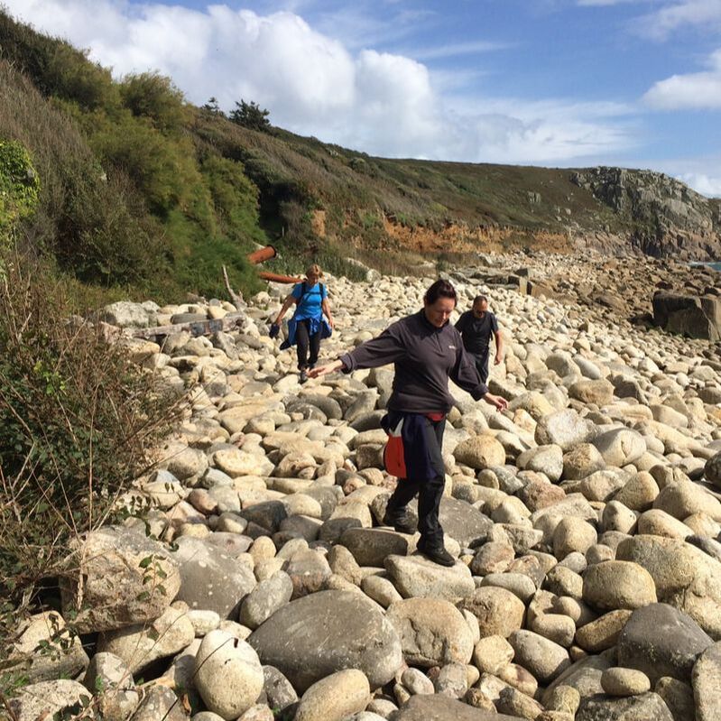
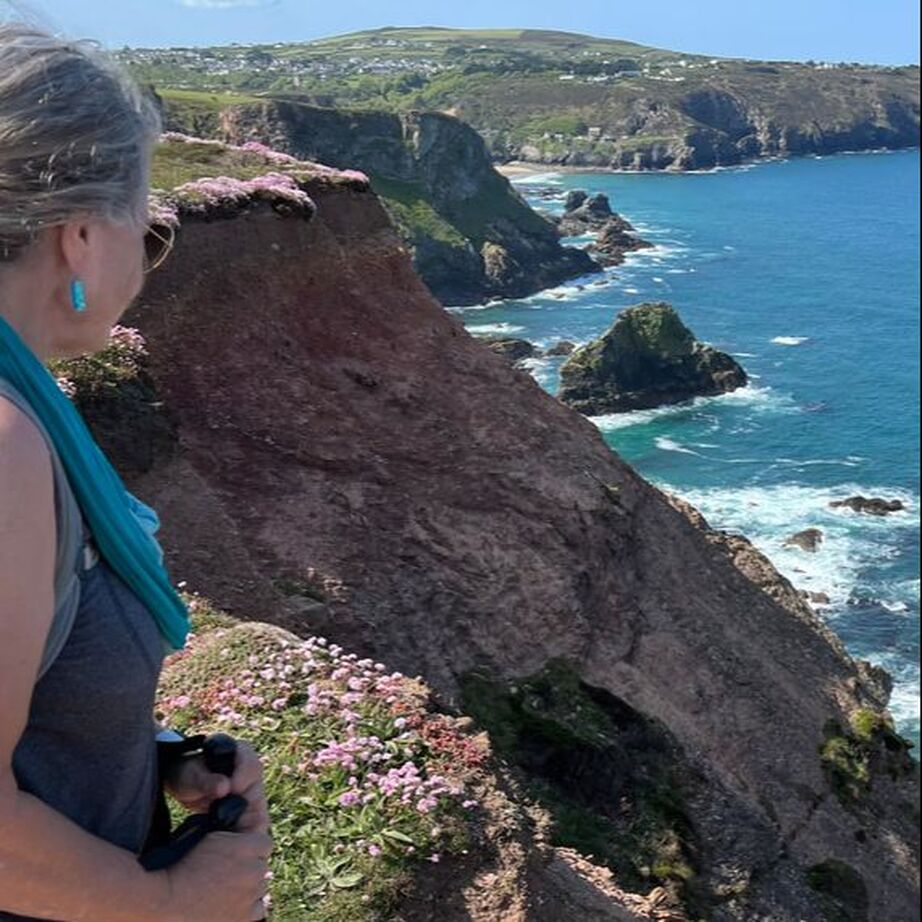
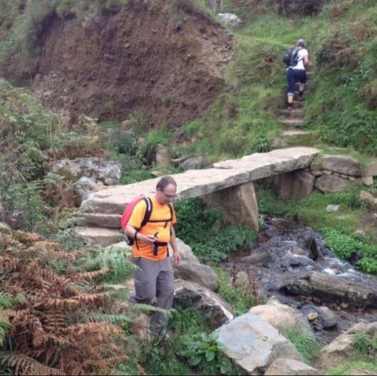
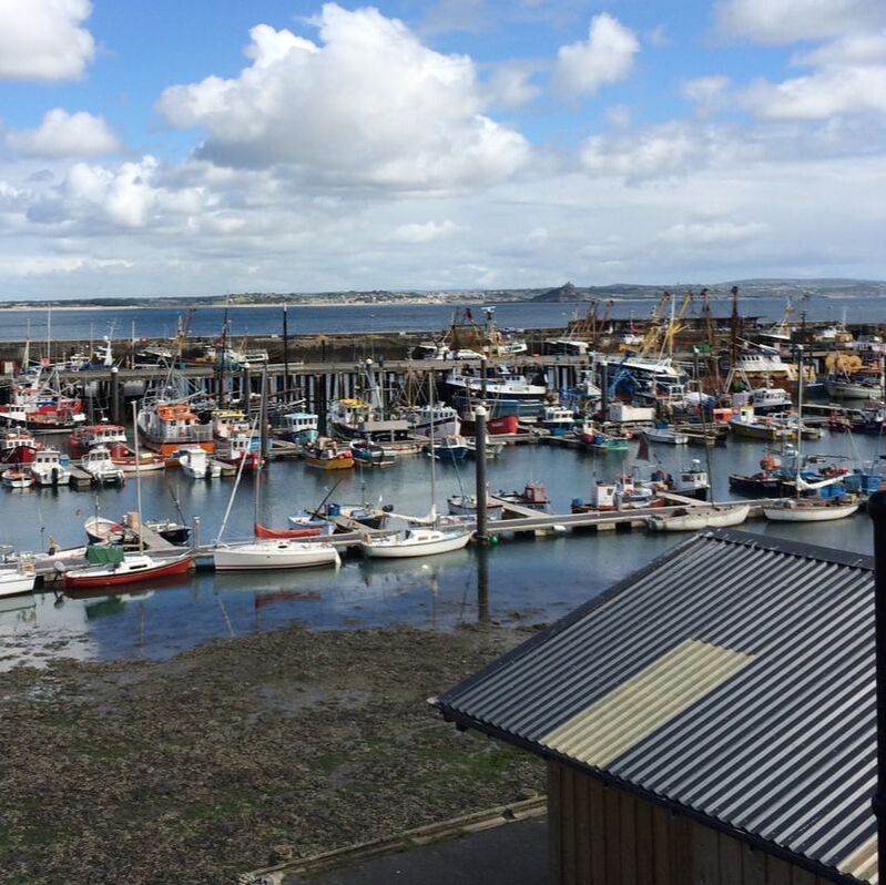
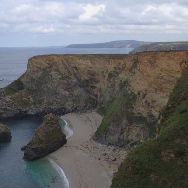
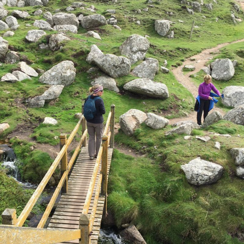
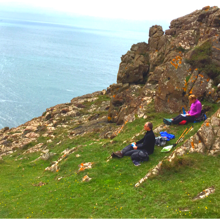
West Cornwall terrain, specifically around Zennor and St Ives, is incredibly rocky and boggy. We spent a lot of time watching our feet rather than the view. While Cornwall is generally the hardest county to walk, due to its constant elevation changes, The South Coast can be a bit more forgiving than the West, though it still requires crossing several river estuaries (like the Fowey and the Helford) which often involve taking small ferries.
Picture
Newquay to Holywell
Picture
Portreath to Hell's Mouth ​
Picture
​Carbis Bay to Gwithian 
Picture
 St Ives to ​Lelant
Picture
Zennor to Pendeen 
Picture
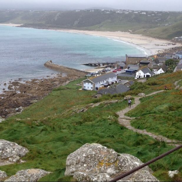
​Land's End to Sennen
Picture
Lamorna to Porthcurno
Picture
Penzance to Marazion
Picture
Porthleven to Mullion Cove
Picture
​Cadgwith to Lizard Point
Picture
Helford Passage to ​Coverack 
Picture
St Agnes to Holywell ​
Picture
Hell's Mouth to Gwithian​​
Picture
Carbis Bay to Lelant
Picture
​St Ives to Zennor
Picture
​Pendeen to Sennen
Picture
Land's End to Porthcurno
Picture
Penzance to Lamorna
Picture
​Marazion to Porthleven
Picture
Mullion Cove to Lizard Point
Picture
Coverack to Cadgwith
Picture
Falmouth to Helford Passage
next section: south cornwall
TRAIL NOTES

The South West Coast Path
Our Journey
The Hikes
Trail Notes
Contact

​

Burly Biker Dude on Yorkshire Pudding

​Copyright © 2026
  • South West COAST Path
  • Our journey
  • Trail Notes
  • The Hikes
    • Somerset & Exmoor Hikes
    • North Devon Hikes
    • North Cornwall Hikes
    • West Cornwall Hikes
    • South Cornwall Hikes
    • South Devon Hikes