LOVE TRAVEL ENGLAND
  • South West COAST Path
  • Our journey
  • Trail Notes
  • The Hikes
    • Somerset & Exmoor Hikes
    • North Devon Hikes
    • North Cornwall Hikes
    • West Cornwall Hikes
    • South Cornwall Hikes
    • South Devon Hikes

Minehead to Porlock Weir
​9 Miles

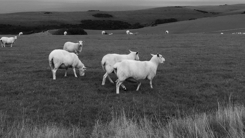
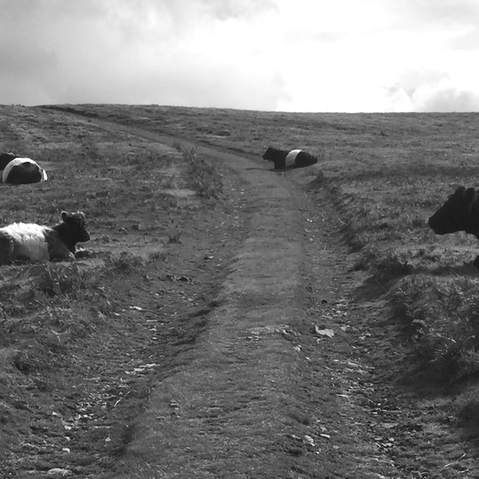
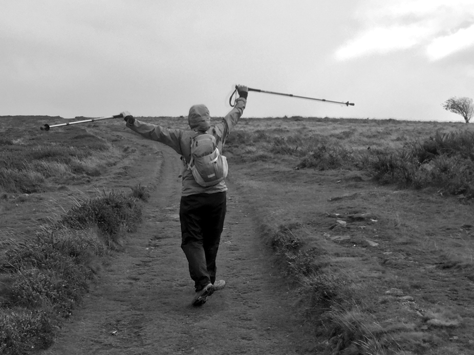
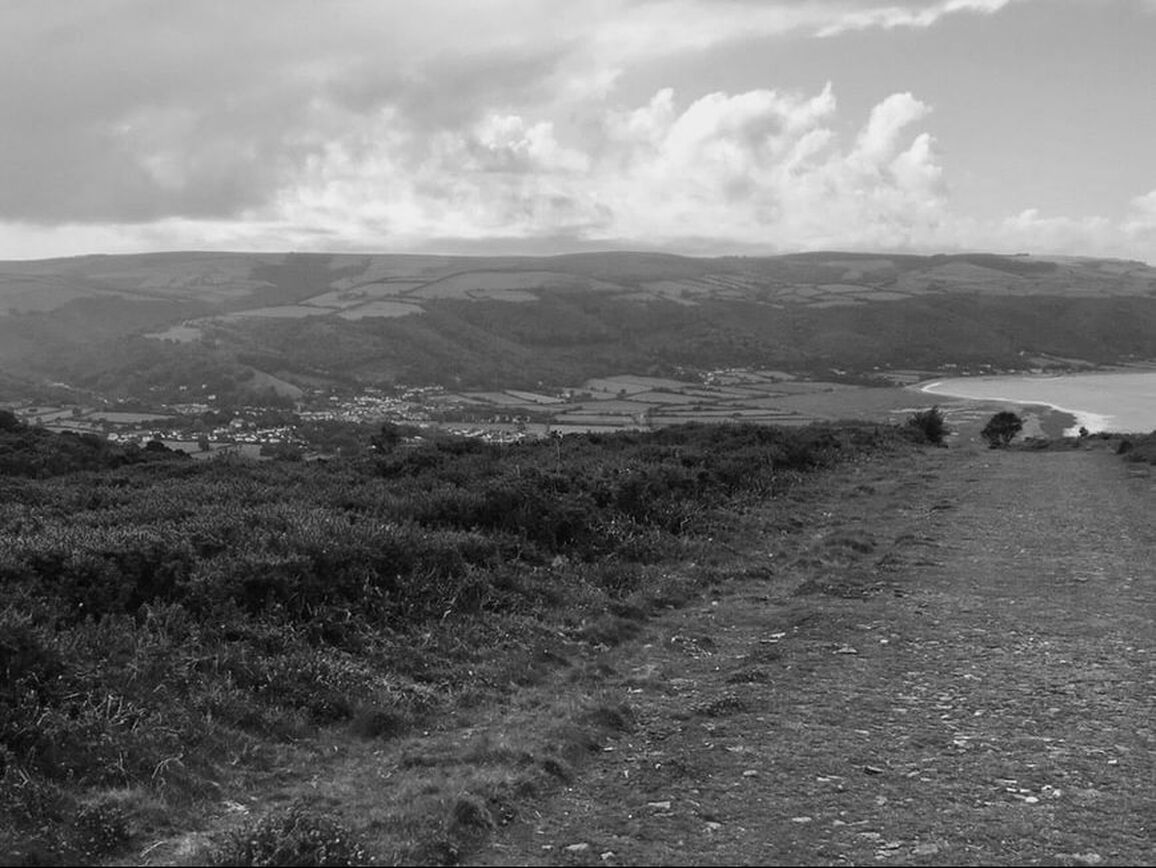
The South West Coast Path starts its rugged way in Minehead. The walk was mostly flat across the tops, with huge hikes up and painfully slow hikes back down. Fantastic views — we’ve never walked in this kind of environment. Sheep, scary cows that look like buffalo, a wicked wind that was with us all day, and clouds that threatened but kindly skirted around.​
Picture
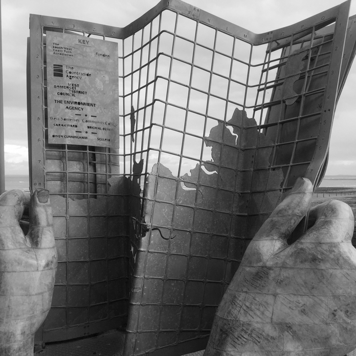
First, the obligatory selfie at the official start of the South West Coast Path.
Picture
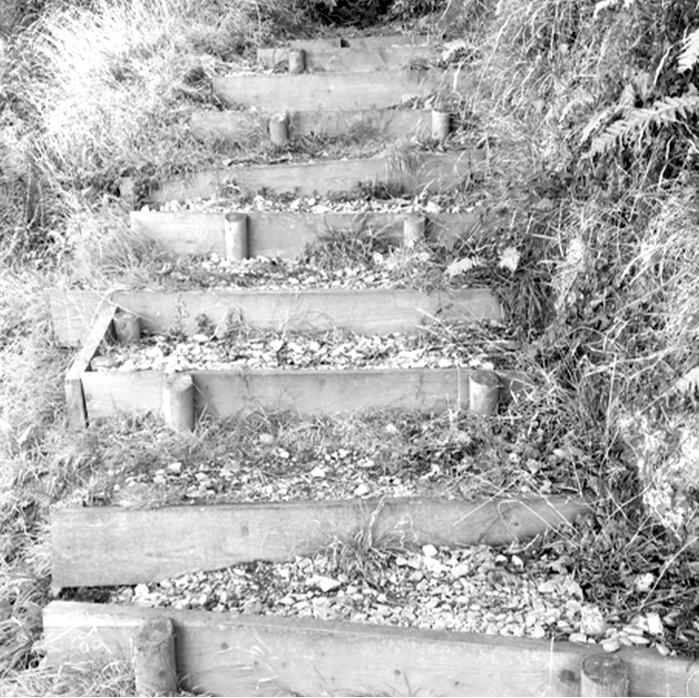
The trail starts, as it so often does, by heading up.
Picture
Then keeps going up,
Picture
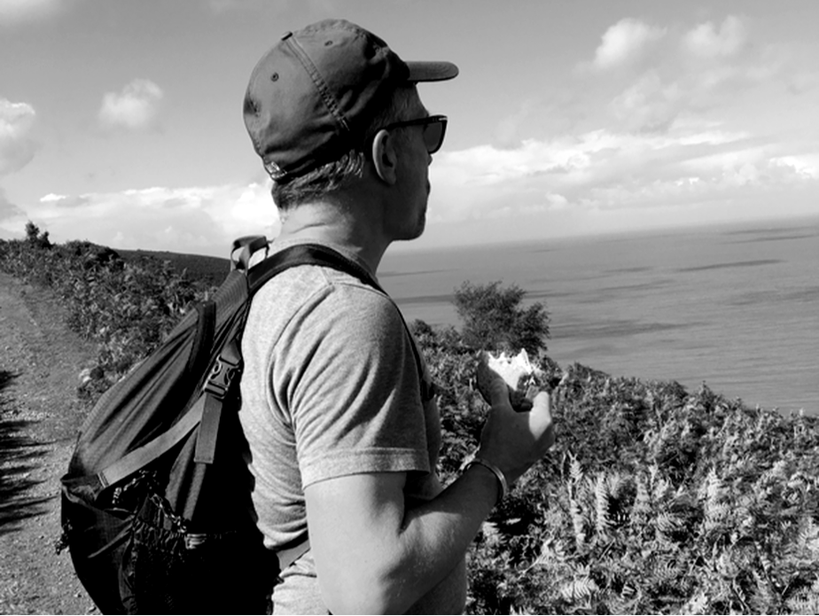
It's always lunchtime.
Picture
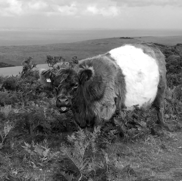
I tiptoe by this guy, convinced he is thinking about charging me. This is a "Belted Galloway", originating from Galloway, Scotland. They are one of the hardiest breeds in the world, with their "double coat"—a long, shaggy outer layer that sheds rain and a soft undercoat for warmth—which is why they can thrive in the wicked winds and storms along the SWCP.
Picture
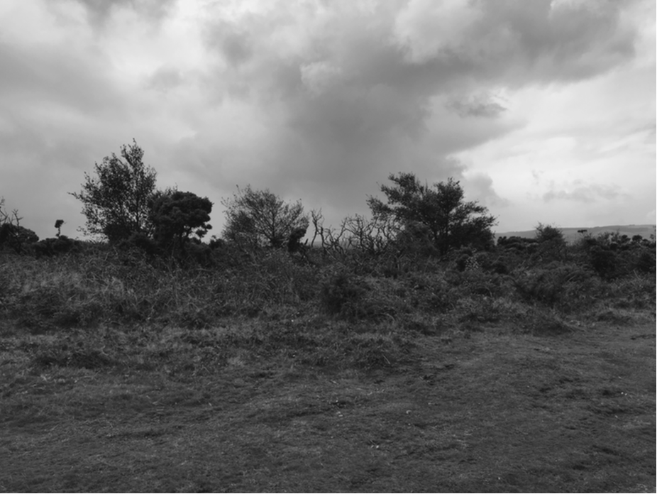
Weather goes from sunny to cloudy...
Picture
...to stormy. All day long.
Picture
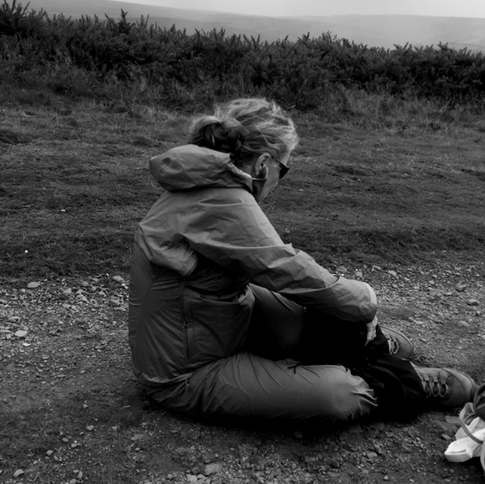
Time for rainpants.
Picture
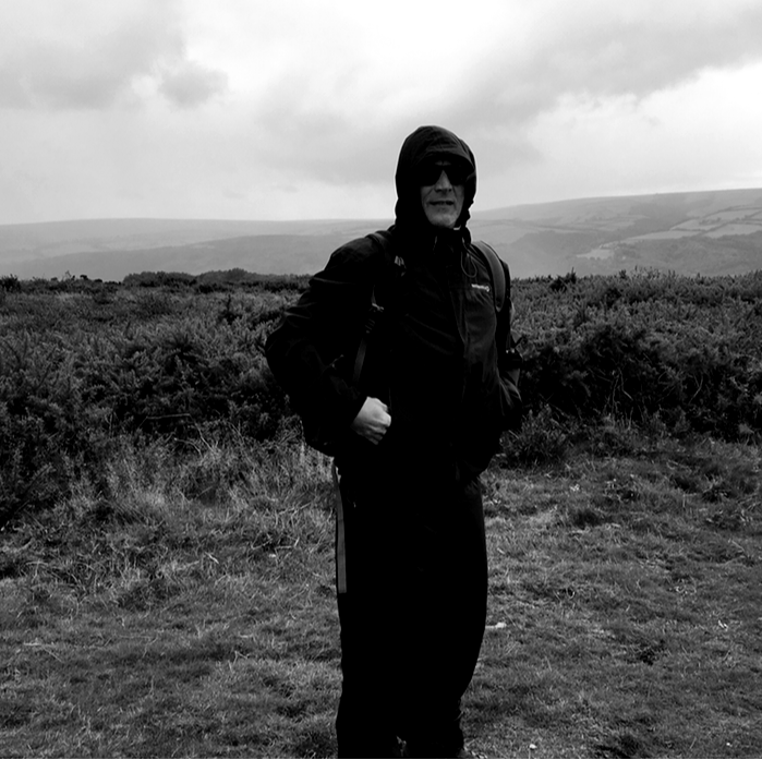
We bundle up.
Picture
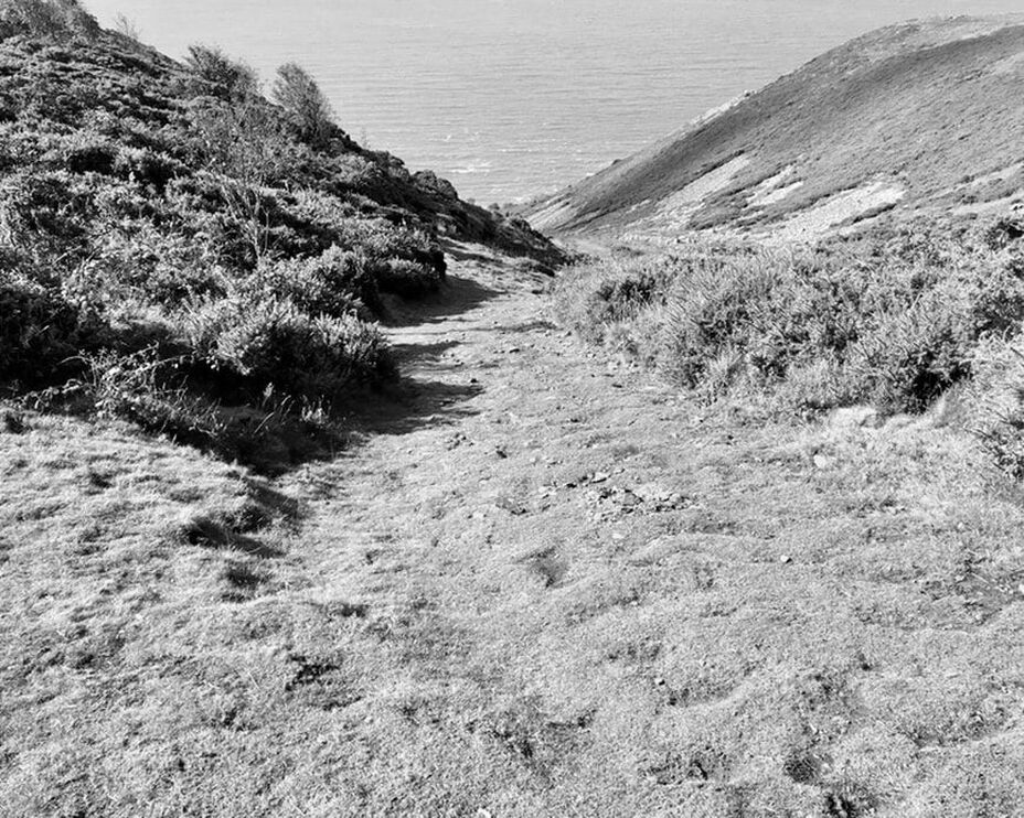
We see Porlock Weir, just down the last hill.
Picture
This. Hill. Was. A. Bitch. It took me a good thirty minutes to hobble down.
Picture
Picture
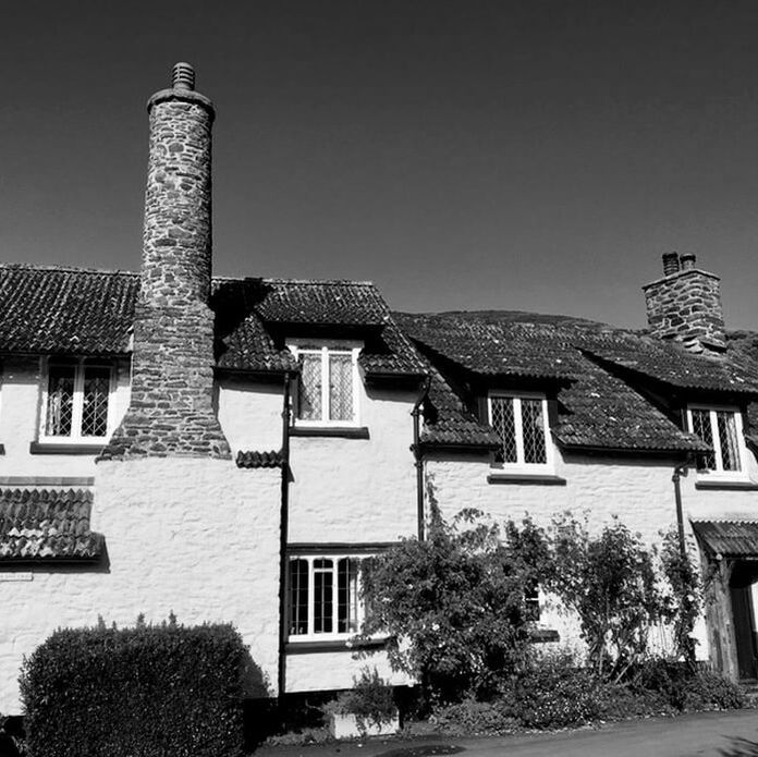
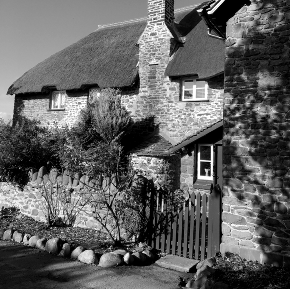
​We finally reach the bottom and follow the path through Bossington, where we hear there’s a wonderful place to stop for a cream tea. Unfortunately, we have three miles to Porlock Weir, where the last bus of the day leaves in 50 minutes.
Picture

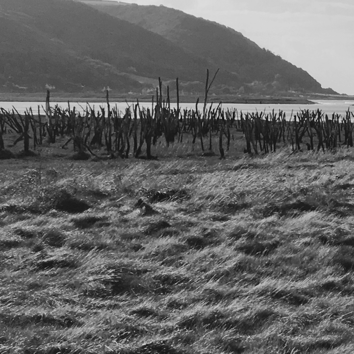
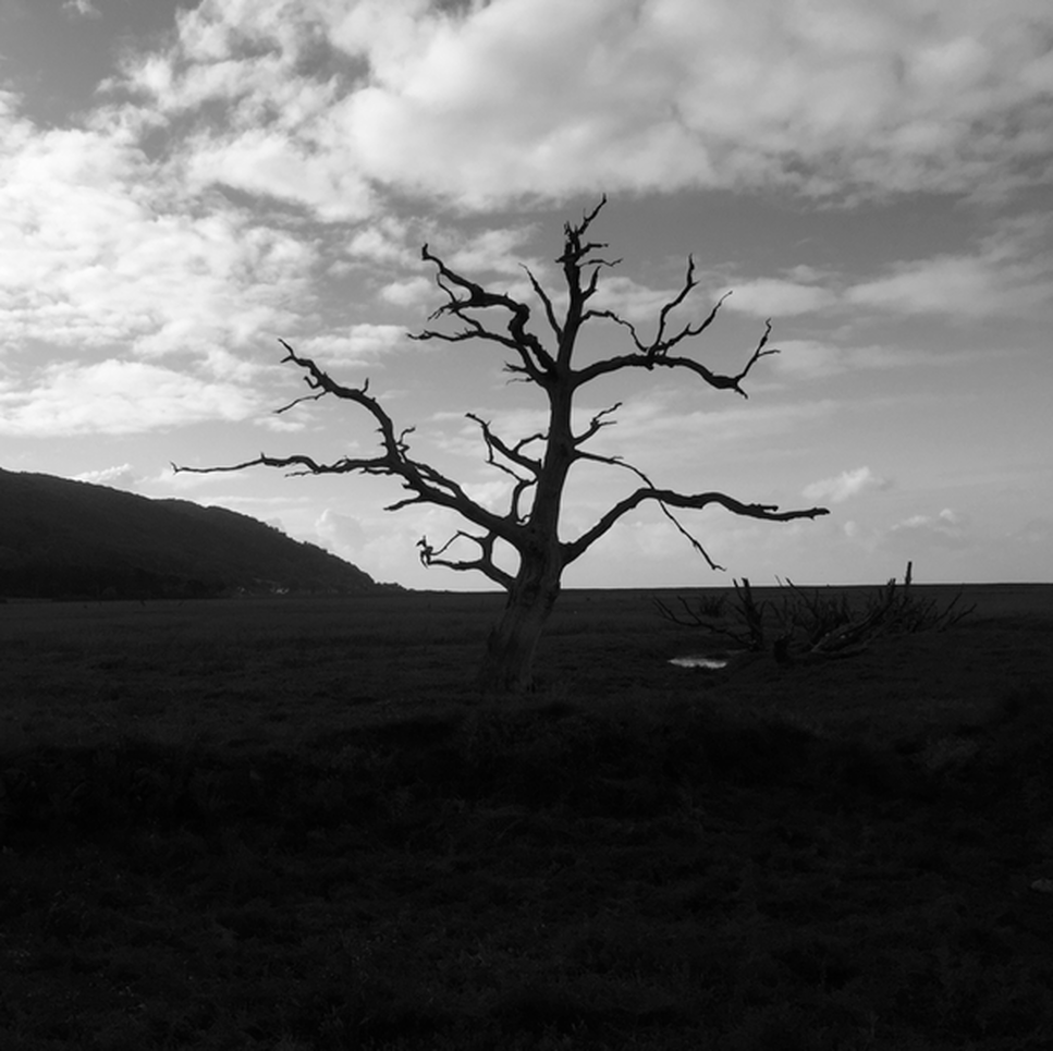
The Submerged Forest at Porlock Weir

6,000 years ago, you wouldn't be standing on a beach, but in the heart of a deep, dark forest filled with the sounds of wolves and deer. Today, only these bones of the trees remain.

The submerged forest at Porlock Weir is 5,000 - 6,000 years old. It's a hauntingly beautiful prehistoric landscape that you can only see at low tide. As the climate warmed after the last Ice Age, the forest was slowly drowned by rising sea levels. The trees were buried in peat and salt marsh mud, which created an anaerobic environment, preventing the wood from rotting, and effectively pickling the stumps for millennia.

When the tide is exceptionally low, archaeologists have found evidence of human activity in the surrounding clay, including prehistoric footprints of both humans and animals, and flint tools—suggesting that Stone Age hunters used this forest as a hunting ground before the sea claimed it.

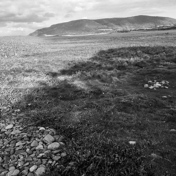
Hiking past on our way to Porlock Weir, it feels a bit foreboding, like we could see dinosaurs. The surrounding area too, is marshland; even parts of the path run through squishy areas. Read more here. 
Picture
Picture
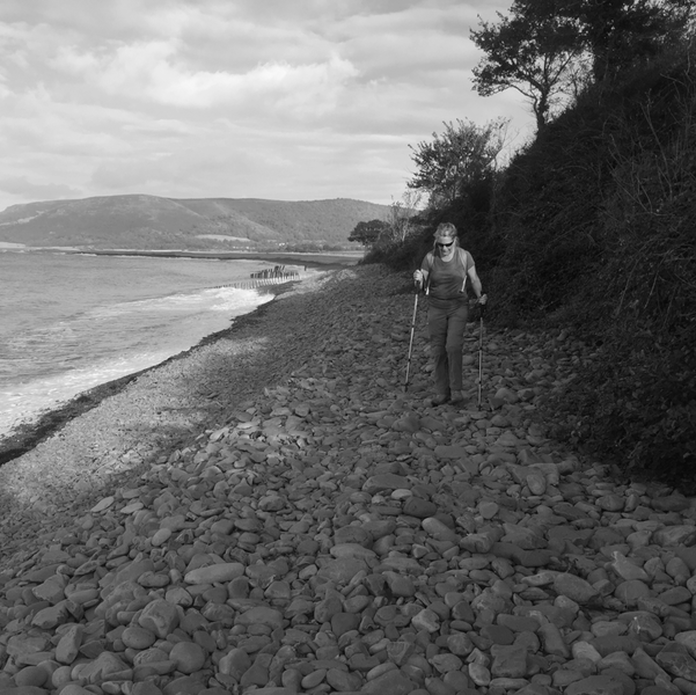
It's rough walking but this rocky beach too has a fascinating history. It looks manmade, but was actually formed about 8000 years ago at the end of the last Ice Age, when rising sea levels piled up the rock and shingle that fell from nearby cliffs. ​Across the bay is that wretched hill we bumbled down about two hours ago.
Picture
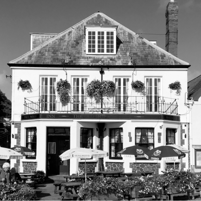
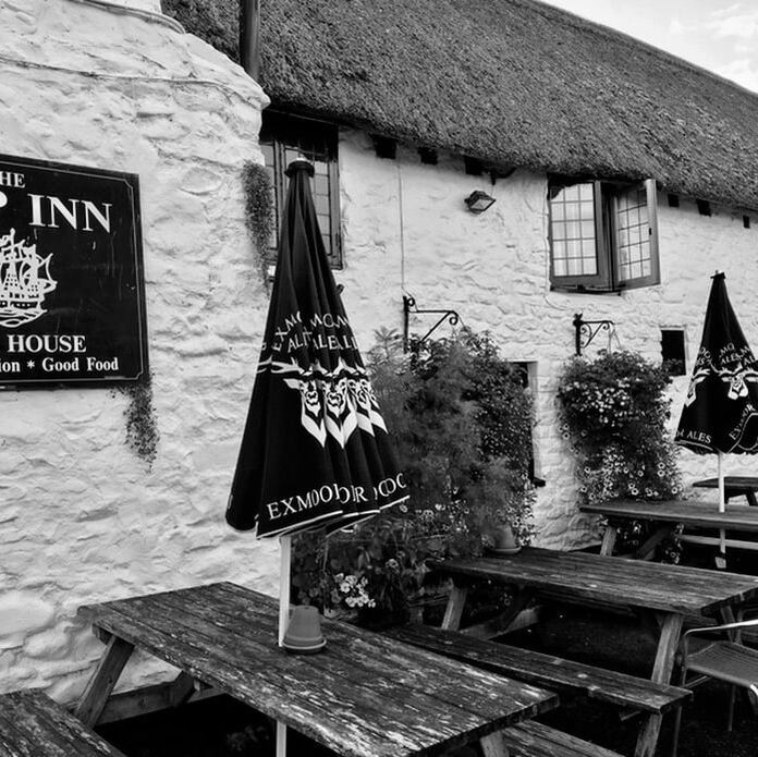
We reach ​Porlock Weir and have 15 minutes until the bus comes, so we stop at The Ship Inn for a toast.
Picture
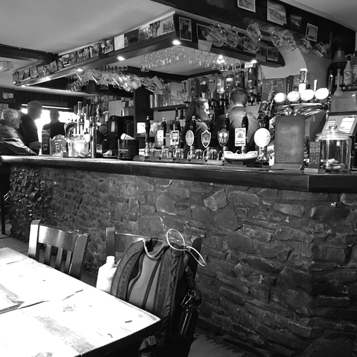
Over 200 years old, The Ship Inn retains much of its original character: including thick stone walls that have stood up to coastal storms for generations.
Picture
We'll see Porlock Weir again when we hike from Lynmouth. But now, we run for the bus.

Next Hike: Lynmouth to Porlock Weir

The South West Coast Path
Our Journey
The Hikes
Trail Notes
Contact

​

Burly Biker Dude on Yorkshire Pudding

​Copyright © 2026
  • South West COAST Path
  • Our journey
  • Trail Notes
  • The Hikes
    • Somerset & Exmoor Hikes
    • North Devon Hikes
    • North Cornwall Hikes
    • West Cornwall Hikes
    • South Cornwall Hikes
    • South Devon Hikes