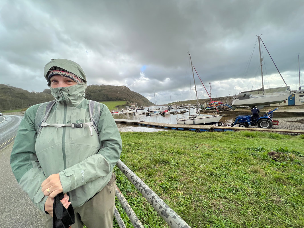
We almost didn't walk today. It poured down rain all night, and the howling window woke us up several times. During one of those times I googled "what wind speed is too dangerous to hike?" and learned all about the Beaufort Scale, which I never knew existed. Bottom line: near gale force winds were expected today, which means we'd be crazy to hike on exposed cliff tops.
After studying the guidebook and Google Earth, we determined that we would mostly be in tree shelter on today's hike and except for getting wet, we'd be OK. So we caught the 9:25 bus to Seaton.
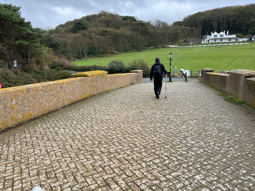
It's cold and rainy as we start over the bridge, which was built in 1877. It's no longer used for cars, only walkers like us.
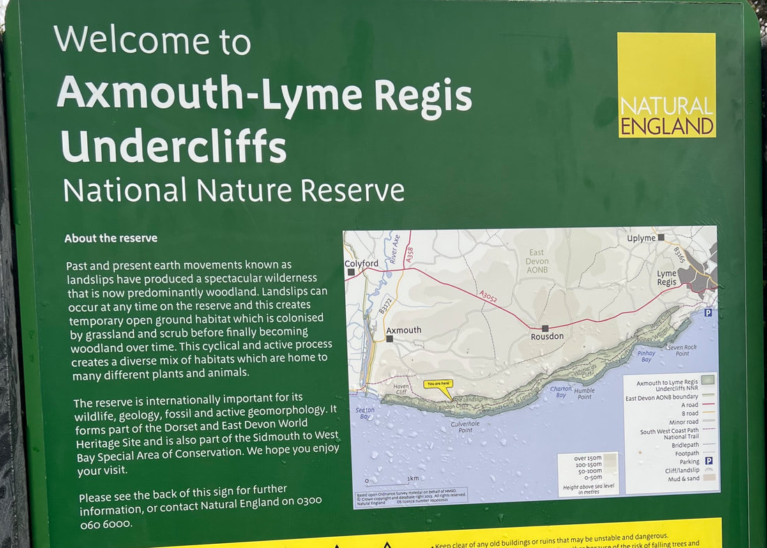
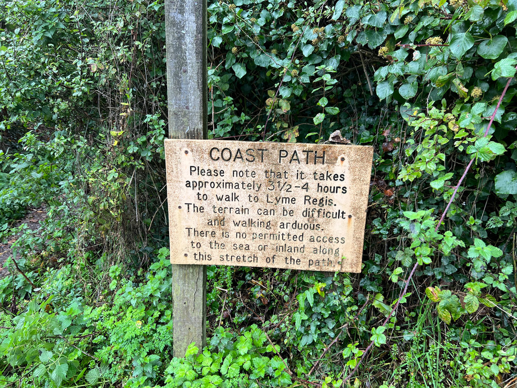
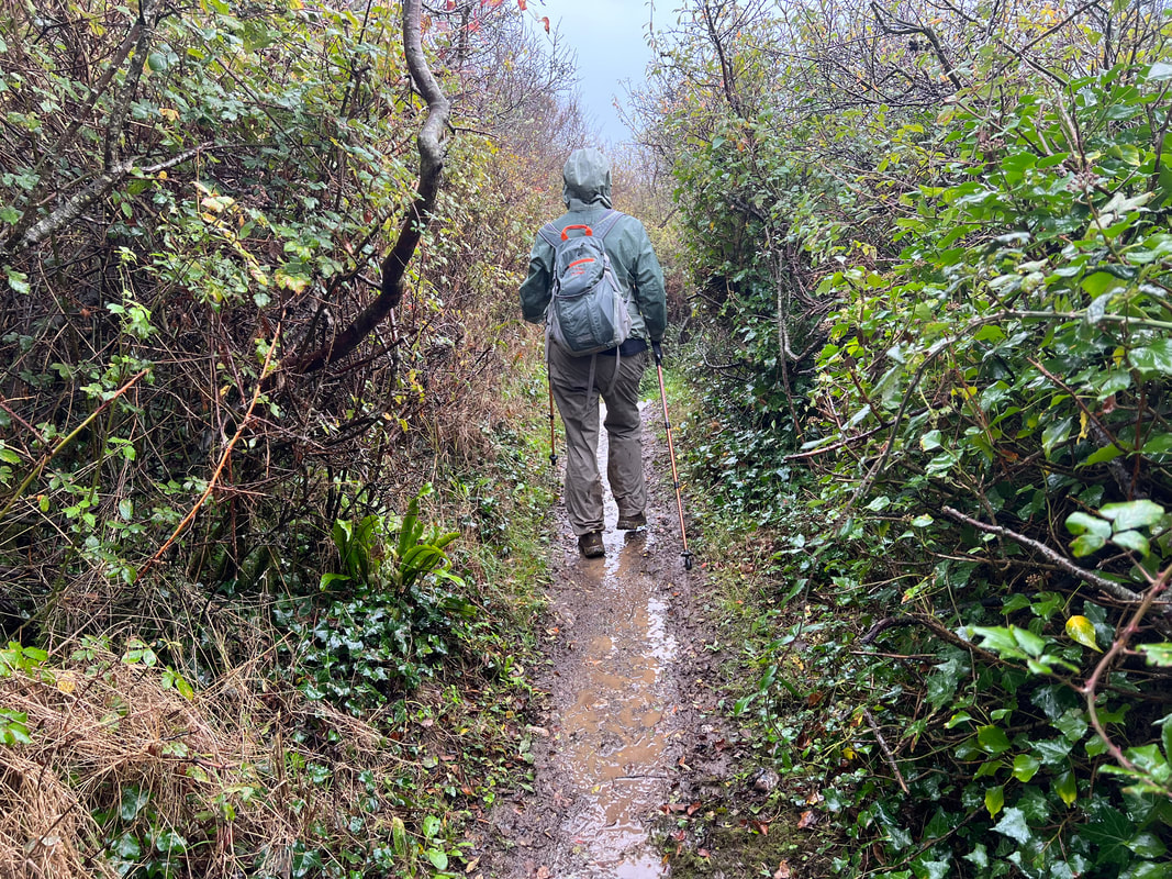
The undercliffs were formed by landslides, resulting in a section of land between back cliffs and cliffs closer to the sea. Constant movement (a bit like a glacier) means that between the back cliff and the sea, deep fissures open up. There are warnings posted all over advising you to not to wander off the path. We heed those warnings.
In other words, plan to turn around or finish. There is no where to go in between!
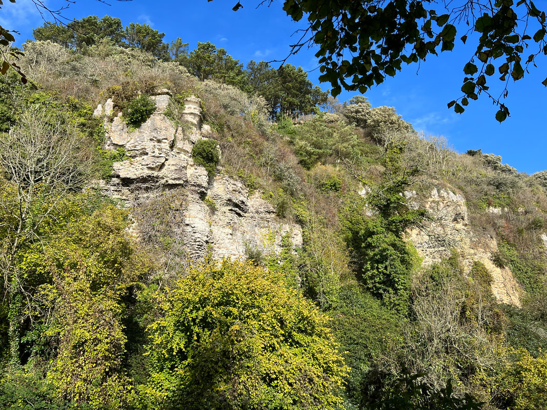
The back cliffs.
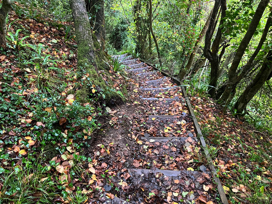
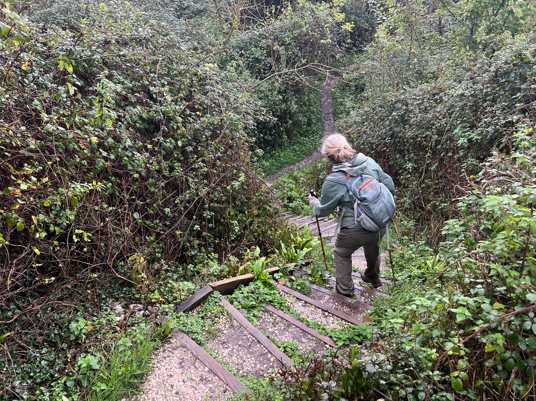
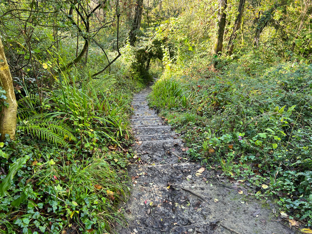
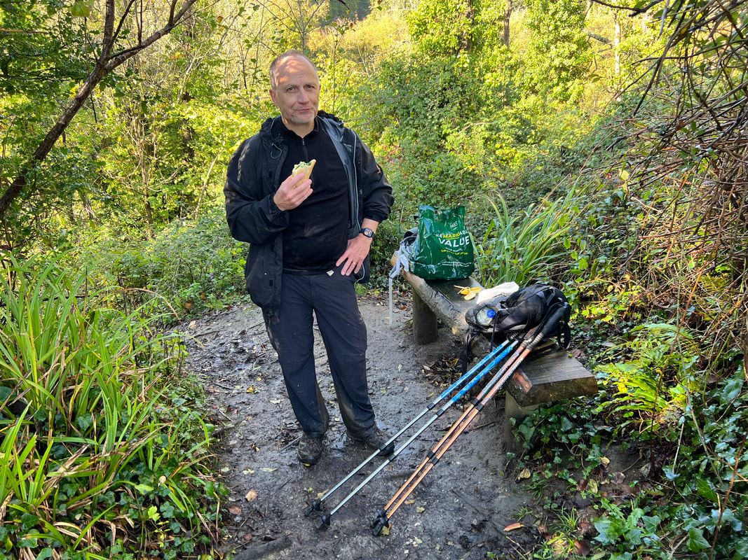
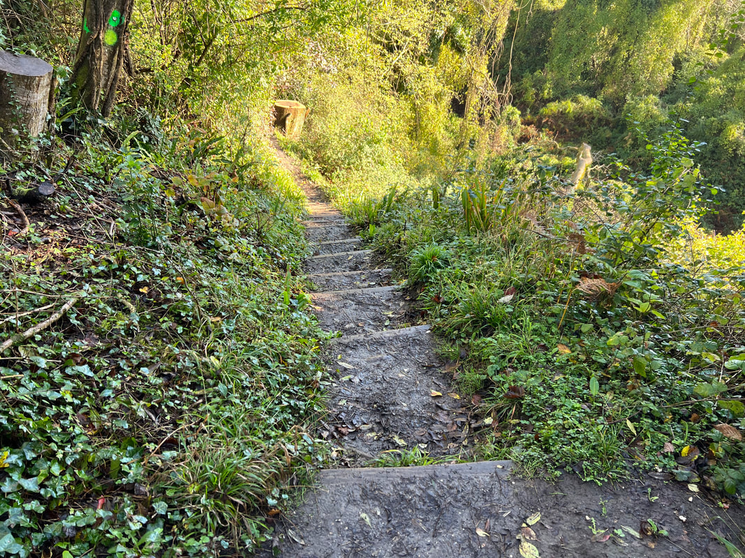
After coming up these wretched steps, we stop to eat, then head down these wretched steps.