NEWLYN
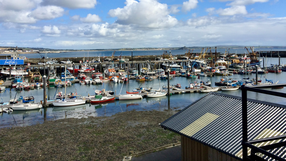
Newlyn is an authentic Cornish fishing town and a working commercial port—the largest for landing fish in England and Wales. The Old Quay, which still stands, is said to be from Medieval times, with the walls of the North and South Piers constructed in the 1880s. The streets are quaint and quiet and crammed with old white-painted or stone-faced granite cottages separated by a maze of little lanes.
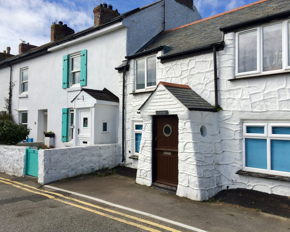
The only time I've been in Newlyn was to pass through on the way to someplace else. It feels kind of disrespectful now that I've done my research into Newlyn's history. So on the October 2023 trip I will make amends by meandering up and down the streets, eating the fresh catch of the day (or two or three), and checking out the harbor.
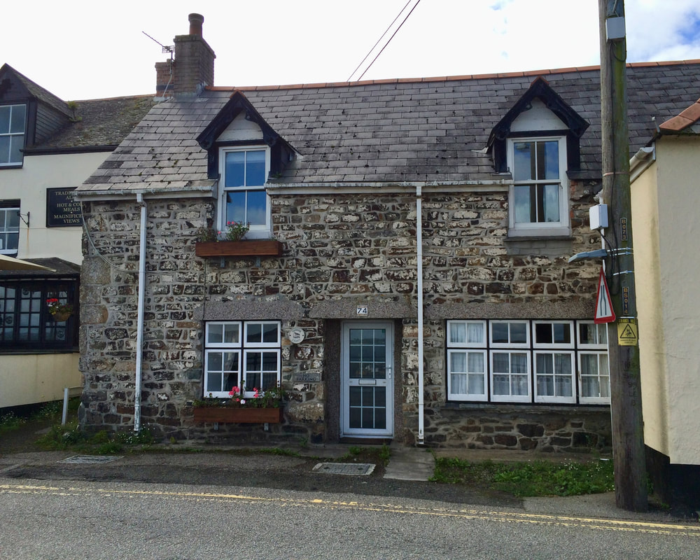
Sadly, these three photos are the only ones I took of this important little port, though I have discovered some fascinating history stuff.
The Mayflower Ship debate that involves Newlyn:
Yes, 102 pilgrims and 30-some crew members set sail from Plymouth in 1620, but supposedly their final port of call was actually Newlyn. The Mayflower had just started out on their journey when they realized their drinking water was contaminated, forcing them to make one final stop before heading for the Americas. According to the research of historian Bill Best Harris, the Mayflower decided to stop at Newlyn. So which town gets to claim that IT was the port from which the pilgrims set sail for America?
A plaque on the Newlyn quay reads:
A plaque on the Newlyn quay reads:
“To the memory of Bill Best Harris 1914–1987 Historian and son of Plymouth whose researches indicated that the MAYFLOWER 16–8–1620 docked at the Old Quay Newlyn for water and supplies making it the last port of call in England The water supply at Plymouth being the cause of fever and cholera in the city Let debate begin.”
The Tidal Observatory, right there in Newlyn:
Have you ever wondered how sea levels are measured? I know I never have. But it turns out that levels are in fact measured, and in a highly scientific way to boot, and that that measuring was done right there in Newlyn. Yep, another reason to visit.
The Tidal Observatory was founded to identify the mean sea level that forms the starting point for levelling the whole United Kingdom. The whole kingdom! Right in Newlyn! A brass bolt is the benchmark, and all heights are referenced to this one exact brass point.
It was no small feat to determine the height for the benchmark. It took six years—from 1915 to 1921. The way they did it was by using a tide staff every 15 minutes to make visual observations of the water level. That’s every 15 minutes, 24 hours a day, 365 days a year, for six years. The data collected during those six years was used to calculate the mean sea level and this vertical level was transferred to the head of the brass bolt. I admit I don’t understand this. In October the plan is to definitely Find That Brass Bolt, definitely take a photo, and definitely, or at least possibly, try to understand the process. No promises though.
The Tidal Observatory was founded to identify the mean sea level that forms the starting point for levelling the whole United Kingdom. The whole kingdom! Right in Newlyn! A brass bolt is the benchmark, and all heights are referenced to this one exact brass point.
It was no small feat to determine the height for the benchmark. It took six years—from 1915 to 1921. The way they did it was by using a tide staff every 15 minutes to make visual observations of the water level. That’s every 15 minutes, 24 hours a day, 365 days a year, for six years. The data collected during those six years was used to calculate the mean sea level and this vertical level was transferred to the head of the brass bolt. I admit I don’t understand this. In October the plan is to definitely Find That Brass Bolt, definitely take a photo, and definitely, or at least possibly, try to understand the process. No promises though.