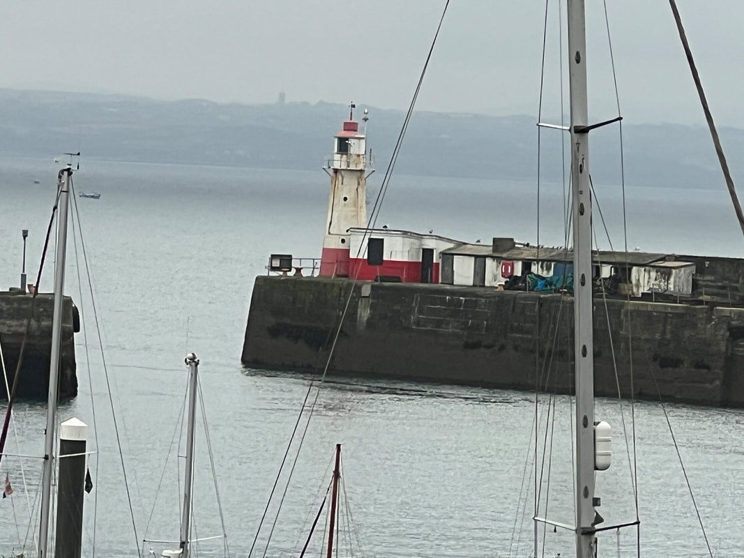
 That totally inauspicious-looking building at the end of the pier is the Newlyn Tidal Observatory. And it’s here—right here in Newlyn—where the mean sea level for all of the Uk is identified. This measurement forms the starting point for leveling the whole of the UK. And not just sea levels: how we calculate height above sea level has a direct impact on how high we measure mountains and how deep we measure valleys. You can read all about it here but the short answer is: six years. That’s how long it took to make visual observations needed to settle on the final “mean sea level” answer. The way they did it was by using a tide staff (I'm picturing Moses) every 15 minutes, 24 hours a day, 365 days a year, for six years. Who did all this measuring? They must have had at least three shifts, probably more because of the boredom factor. (Watch the clock, dip the stick, measure the water. Watch the clock, dip the stick, measure the water.)
We will definitely take a look at the building out of simple respect for a great feat but I don’t pretend to understand it. Wherever I read an article with words like geodetic aspect, continental shelf, geodetic leveling, non-tidal residuals, semidiurnal frequency band, Aanderaa pressure gauge system, and especially datum, I tend to zone out. Comments are closed.
|